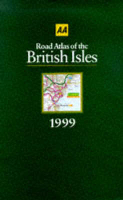
Road Atlas of the British Isles
Seiten
1998
Automobile Association (Verlag)
978-0-7495-1866-0 (ISBN)
Automobile Association (Verlag)
978-0-7495-1866-0 (ISBN)
- Titel erscheint in neuer Auflage
- Artikel merken
Zu diesem Artikel existiert eine Nachauflage
A road atlas of the British Isles at a scale of 3 miles to 1 inch.
Now in its 9th edition, this road atlas offe rs a scale of 3 miles to an inch. It is fully updated with o ver 3,000 revisions, and shows new county boundaries. 84 tow n plans are incorporated, including London, Belfast and Dubl in '
Now in its 9th edition, this road atlas offe rs a scale of 3 miles to an inch. It is fully updated with o ver 3,000 revisions, and shows new county boundaries. 84 tow n plans are incorporated, including London, Belfast and Dubl in '
| Erscheint lt. Verlag | 1.8.1998 |
|---|---|
| Zusatzinfo | colour illustrations chiefly colour maps |
| Verlagsort | Basingstoke |
| Sprache | englisch |
| Maße | 223 x 307 mm |
| Gewicht | 1784 g |
| Themenwelt | Reisen ► Karten / Stadtpläne / Atlanten ► Europa |
| ISBN-10 | 0-7495-1866-9 / 0749518669 |
| ISBN-13 | 978-0-7495-1866-0 / 9780749518660 |
| Zustand | Neuware |
| Haben Sie eine Frage zum Produkt? |
Mehr entdecken
aus dem Bereich
aus dem Bereich
Buch | Spiralbindung (2024)
Freytag-Berndt und ARTARIA (Verlag)
CHF 41,85


