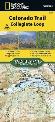
Colorado Trail, Collegiate Loop
Seiten
2017
|
2018th ed.
National Geographic Maps (Verlag)
978-1-56695-722-9 (ISBN)
National Geographic Maps (Verlag)
978-1-56695-722-9 (ISBN)
Waterproof, Tear-Resistant Topographic Map. The Colorado Trail, Collegiate Loop Topographic Map Guide has been designed as the perfect traveling companion when navigating the Collegiate Loop section of The Colorado Trail. In 2012, the 83-mile Collegiate West route was added to The Colorado Trail as an alternate route to the Collegiate East section, creating the approximately 163-mile Collegiate Loop. The Collegiate Loop Topographic Map Guide starts at the top end of the loop near Twin Lakes Reservoir. The trail tracks south along the eastern slope of Sawatch Range under the watchful gaze of several 14ers (fourteen-thousand foot peaks) until it joins the Continental Divide Trail near Monarch. The trail then turns north along the west side of the Sawatch Range as it crisscrosses the continental divide until finally finishing the loop back at Twin Lakes Reservoir. Each page is centered on the trail and overlaps with adjacent pages so there is little chance of getting lost. Along the bot
| Erscheint lt. Verlag | 7.6.2017 |
|---|---|
| Verlagsort | Evergreen |
| Sprache | englisch |
| Maße | 1 x 1 mm |
| Themenwelt | Reisen ► Karten / Stadtpläne / Atlanten ► Nord- / Mittelamerika |
| Reiseführer ► Nord- / Mittelamerika ► USA | |
| ISBN-10 | 1-56695-722-2 / 1566957222 |
| ISBN-13 | 978-1-56695-722-9 / 9781566957229 |
| Zustand | Neuware |
| Haben Sie eine Frage zum Produkt? |
Mehr entdecken
aus dem Bereich
aus dem Bereich
Karte (gefalzt) (2024)
Michelin Editions des Voyages (Verlag)
CHF 20,55
Map
Karte (gefalzt) (2024)
Michelin Editions des Voyages (Verlag)
CHF 15,90


