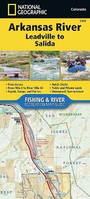
Arkansas River, Leadville To Salida
Seiten
2017
|
2017th ed.
National Geographic Maps (Verlag)
978-1-56695-703-8 (ISBN)
National Geographic Maps (Verlag)
978-1-56695-703-8 (ISBN)
- Keine Verlagsinformationen verfügbar
- Artikel merken
Waterproof, Tear-Resistant Fishing & River Map. The Arkansas River, Leadville to Salida Fishing & River Map Guide is designed to be the perfect companion to anyone recreating on the upper Arkansas. On the upper river, there is a great distinction to be drawn between the waters above and below the confluence with Lake Creek. This is partly one of topography - above this point the river is largely an oxbowed meadow stream, while below it flows through the steep and confined channel of the Granite Gorge and on through the several canyons that follow. But it is also differentiated by its hydrology - the flow through the Hayden Meadows reach above Lake Creek is almost totally natural, with a short but intense spring runoff, while the river below that confluence is augmented by releases of water from both Twin Lakes and Turquoise reservoirs. As a result of these impoundments, higher flows are common below Lake Creek in general and throughout the summer in particular. Each Fishing & River Ma
| Erscheint lt. Verlag | 7.6.2017 |
|---|---|
| Verlagsort | Evergreen |
| Sprache | englisch |
| Maße | 110 x 238 mm |
| Themenwelt | Reisen ► Karten / Stadtpläne / Atlanten ► Nord- / Mittelamerika |
| Reiseführer ► Nord- / Mittelamerika ► USA | |
| ISBN-10 | 1-56695-703-6 / 1566957036 |
| ISBN-13 | 978-1-56695-703-8 / 9781566957038 |
| Zustand | Neuware |
| Haben Sie eine Frage zum Produkt? |
Mehr entdecken
aus dem Bereich
aus dem Bereich
Karte (gefalzt) (2024)
Michelin Editions des Voyages (Verlag)
CHF 20,55
Map
Karte (gefalzt) (2024)
Michelin Editions des Voyages (Verlag)
CHF 15,90


