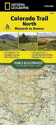
Colorado Trail North, Monarch To Denver
Seiten
2017
|
2018th ed.
National Geographic Maps (Verlag)
978-1-56695-695-6 (ISBN)
National Geographic Maps (Verlag)
978-1-56695-695-6 (ISBN)
Waterproof, Tear-Resistant Topographic Map. The Colorado Trail North Topographic Map Guide has been designed as the perfect traveling companion when navigating the north section of The Colorado Trail. In a state known for its trails, The Colorado Trail is Colorado's premier long distance trail. Conceived in 1973 and completed in 1987, the trail runs 486 miles between Denver and Durango, traversing some of the most spectacular scenery in the state. The Colorado Trail is often started at its north terminus in Waterton Canyon just outside of Denver. When traveling from north to south the trail follows the South Platte River and quickly climbs into the Lost Creek Wilderness. From here the trail crosses into Holy Cross Wilderness near Leadville. The trail then skirts the eastern slope of the Sawatch Range and passes beneath Mount Elbert, the highest mountain in Colorado. Next comes the Collegiate Peaks Wilderness with its multiple 14ers before finally joining with the Collegiate Loop near
| Reihe/Serie | NGS-Maps ; Bl.1202 |
|---|---|
| Verlagsort | Evergreen |
| Sprache | englisch |
| Maße | 108 x 237 mm |
| Themenwelt | Reisen ► Karten / Stadtpläne / Atlanten ► Nord- / Mittelamerika |
| Reiseführer ► Nord- / Mittelamerika ► USA | |
| Schlagworte | Colorado, Karte |
| ISBN-10 | 1-56695-695-1 / 1566956951 |
| ISBN-13 | 978-1-56695-695-6 / 9781566956956 |
| Zustand | Neuware |
| Haben Sie eine Frage zum Produkt? |
Mehr entdecken
aus dem Bereich
aus dem Bereich
Karte (gefalzt) (2024)
Michelin Editions des Voyages (Verlag)
CHF 20,55
Map
Karte (gefalzt) (2024)
Michelin Editions des Voyages (Verlag)
CHF 15,90


