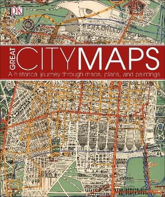
Great City Maps
A historical journey through maps, plans, and paintings
Seiten
2016
DK (Verlag)
978-0-241-23898-1 (ISBN)
DK (Verlag)
978-0-241-23898-1 (ISBN)
- Titel ist leider vergriffen;
keine Neuauflage - Artikel merken
Journey back in time and take a walk through the historic streets of the world's greatest cities.
Great City Maps is the companion title to DK's Great Maps and takes a focused look at over 70 gorgeously illustrated historical maps and plans of cities around the globe. Dive into the detail of each beautiful map and learn about interesting features with visual tours of the maps' highlights - such as the Old London Bridge of London in 1572 and the orchards of Brooklyn in 1767 New York.
Cities are centres of civilisation and the way their maps portray them reflects their politics, religion, and culture. See how certain cities, and cartographic techniques, changed over time. More than just a bird's-eye-view, this unputdownable book tells the tales behind the cities from the hubs of ancient peoples to modern mega-cities, and profiles the iconic cartographers and artists who created each map.
Perfect for history, geography, and cartography enthusiasts and a stunning gift for armchair explorers of all ages, Great City Maps is your window into the world's most fascinating cities.
Professor Jeremy Black MBE Professor of History at Exeter University, Jeremy Black graduated from Cambridge University with a Starred First, and did graduate work at Oxford University before teaching at the University of Durham, and from 1996 at Exeter. His two major fields of scholarship are military history and the history of cartography. Recent books include War and Technology, Rethinking World War Two, and Metropolis. He has held visiting chairs at a number of American institutions, including West Point, and received the Samuel Eliot Morison Prize from the Society for Military History in 2008.
| Erscheinungsdatum | 25.08.2016 |
|---|---|
| Verlagsort | London |
| Sprache | englisch |
| Maße | 258 x 308 mm |
| Gewicht | 1619 g |
| Themenwelt | Kunst / Musik / Theater ► Antiquitäten |
| Reisen ► Karten / Stadtpläne / Atlanten | |
| Geisteswissenschaften ► Geschichte ► Hilfswissenschaften | |
| ISBN-10 | 0-241-23898-6 / 0241238986 |
| ISBN-13 | 978-0-241-23898-1 / 9780241238981 |
| Zustand | Neuware |
| Haben Sie eine Frage zum Produkt? |
Mehr entdecken
aus dem Bereich
aus dem Bereich
Anforderungen an das digitalisierte Kulturerbe
Buch | Softcover (2023)
transcript (Verlag)
CHF 42,90
innovative Wege der Konzeption und Evaluation von Ausstellungen
Buch | Softcover (2024)
transcript (Verlag)
CHF 49,90


