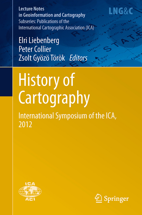
History of Cartography
Springer Berlin (Verlag)
978-3-642-42794-7 (ISBN)
This volume collects 22 papers presented at the 4th International Symposium of the ICA Commission on the History of Cartography, held at Eotvos Lorand University, Budapest, Hungary, on 28-29 June 2012. The overall conference theme is 'Exploration - Discovery - Cartography', but preference has been given to papers dealing with cartography in the 19th and 20th centuries. The papers are classified according to regional sub-themes, i.e. papers on the Americas, papers on Africa, etc.
Redefining Imperial Borders: Marking the Eastern Border of the Habsburg Monarchy in the Second Half of the Eighteenth Century.- Exploring and mapping the Danube: Reading a hydrographical map of Buda and Pest (1833).- Saxony's role in the measurement of the Central European Meridian Arc as an international geodetic project since 1862.- Media-related Aspects of Popularization: The Geographical Serials from the Publishing Houses of Friedrich Justin Bertuch.- Exploring along the Rome Meridian - Roger Boscovich and the First Modern Map of the Papal States.- The Mineral Maps of L. F. Marsigli and the Mystery of a Mine Map.- The long life of a 1:200 000 map of Central Europe and the Balkans.- Villages, Actors of Local Cartography? The Cadastral Maps of the Banat (1772-79).- The Historical Evolution of Craiova Municipality (Romania) Results from the Analysis of Cartographic Documents.- A Brief History of the Boundary Mapping Between Indonesia and Timor-Leste.- Colonial Powers and Geographic Naming -A Case study of Orchid Island (Lanyu), Taiwan.
| Erscheinungsdatum | 08.10.2015 |
|---|---|
| Reihe/Serie | Lecture Notes in Geoinformation and Cartography | Publications of the International Cartographic Association (ICA) |
| Zusatzinfo | IX, 336 p. |
| Verlagsort | Berlin |
| Sprache | englisch |
| Maße | 155 x 235 mm |
| Gewicht | 534 g |
| Themenwelt | Reisen ► Karten / Stadtpläne / Atlanten ► Welt / Arktis / Antarktis |
| Naturwissenschaften ► Geowissenschaften ► Geografie / Kartografie | |
| Schlagworte | Cartography • Earth and Environmental Science • exploration • Geographical Information Science • Geographical Information Systems/Cartography • Geography • History Cartography • ICA 2012 • International Symposium of the ICA 2012 |
| ISBN-10 | 3-642-42794-4 / 3642427944 |
| ISBN-13 | 978-3-642-42794-7 / 9783642427947 |
| Zustand | Neuware |
| Haben Sie eine Frage zum Produkt? |
aus dem Bereich


