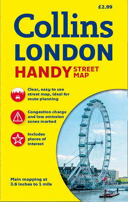
Collins Handy Street Map London
2016
|
New edition
Collins (Verlag)
978-0-00-813664-2 (ISBN)
Collins (Verlag)
978-0-00-813664-2 (ISBN)
- Titel erscheint in neuer Auflage
- Artikel merken
Zu diesem Artikel existiert eine Nachauflage
Clear and easy-to-read map of central London and surrounding area. Contains detailed mapping, presented in a handy compact format. This attractive map, ideal for both tourists and residents, and fully updated, has an extensive area of coverage and displays a wealth of detail.
This map includes:
• Fully classified roads
• Colour-coded buildings
• Postal districts and boundaries clearly depicted
• Full indexes to street names, place names and places of interest
• Fully updated London underground map conveniently located on the back cover
Area of coverage:
Extends from Hampstead in the north to Clapham in the south and from Hammersmith in the west to Greenwich in the east.
SCALE
1:17,500 (3.6 inches to 1 mile).
Explore the world through accurate and up-to-date mapping.
| Zusatzinfo | Index |
|---|---|
| Verlagsort | London |
| Sprache | englisch |
| Maße | 112 x 192 mm |
| Gewicht | 90 g |
| Themenwelt | Reisen ► Karten / Stadtpläne / Atlanten ► Europa |
| Reisen ► Karten / Stadtpläne / Atlanten ► Welt / Arktis / Antarktis | |
| ISBN-10 | 0-00-813664-5 / 0008136645 |
| ISBN-13 | 978-0-00-813664-2 / 9780008136642 |
| Zustand | Neuware |
| Haben Sie eine Frage zum Produkt? |
Mehr entdecken
aus dem Bereich
aus dem Bereich
Straßen- und Freizeitkarte 1:250.000
Karte (gefalzt) (2023)
Freytag-Berndt und ARTARIA (Verlag)
CHF 19,90
Karte (gefalzt) (2023)
Freytag-Berndt und ARTARIA (Verlag)
CHF 19,90
Östersund
Karte (gefalzt) (2023)
Freytag-Berndt und ARTARIA (Verlag)
CHF 21,90


