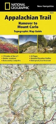
Appalachian Trail, Hanover to Mount Carlo, New Hampshire
Trails Illustrated
Seiten
2015
|
2022nd ed.
National Geographic Maps (Verlag)
978-1-59775-648-8 (ISBN)
National Geographic Maps (Verlag)
978-1-59775-648-8 (ISBN)
- Keine Verlagsinformationen verfügbar
- Artikel merken
Waterproof, tear-resistant topographic map guide. The Hanover to Mount Carlo Topographic Map Guide makes a perfect traveling companion when traversing the New Hampshire section of the Appalachian Trail. Each A.T. Topographic Map Guide includes detailed topographic maps at a detail of 1 inch equals 1 mile. Each page is centered on the A.T. and overlaps with the adjacent pages so there is little chance of getting lost. Along the bottom of each page is a trail profile that shows the distance between shelters, camping areas, and trail access points.
| Erscheint lt. Verlag | 23.9.2015 |
|---|---|
| Verlagsort | Evergreen |
| Sprache | englisch |
| Maße | 108 x 238 mm |
| Gewicht | 83 g |
| Themenwelt | Reisen ► Karten / Stadtpläne / Atlanten ► Nord- / Mittelamerika |
| Reiseführer ► Nord- / Mittelamerika ► USA | |
| ISBN-10 | 1-59775-648-2 / 1597756482 |
| ISBN-13 | 978-1-59775-648-8 / 9781597756488 |
| Zustand | Neuware |
| Haben Sie eine Frage zum Produkt? |
Mehr entdecken
aus dem Bereich
aus dem Bereich
Karte (gefalzt) (2024)
Michelin Editions des Voyages (Verlag)
CHF 20,55
Map
Karte (gefalzt) (2024)
Michelin Editions des Voyages (Verlag)
CHF 15,90


