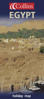
Holiday Map: Egypt
2002
Collins (Verlag)
978-0-00-712799-3 (ISBN)
Collins (Verlag)
978-0-00-712799-3 (ISBN)
- Titel wird leider nicht erscheinen
- Artikel merken
A map in a series of titles covering popular holiday destinations in an easy-to-use format. The map features places to visit, leisure and recreation areas and ancient sites. It also includes larger scale plans of main resorts.
This is a map in a series of titles covering popular holiday destinations in an easy-to-use format. The map features places to visit, leisure and recreation areas and ancient sites. It also includes larger scale plans of main resorts. The road map of Egypt and the Nile Valley extends from the Mediterranean coast and Nile delta in the north to Aswan in the south and from Alexandria in the west to the Sinai peninsula and the Red Sea coast in the east. With background colouring and highlighting by means of symbols, the key tourist sites and leisure areas of this North African holiday destination are covered. The more remote tourist destinations are shown in a smaller scale map of the whole of Egypt. Additional features are a large scale city centre plan of Cairo and maps of the Pyramids at Giza and the Luxor/Karnak/Thebes area. All maps are fully indexed, and in addition there is an Egypt factfile, history chart and a list of the top ten tourist attractions.
This is a map in a series of titles covering popular holiday destinations in an easy-to-use format. The map features places to visit, leisure and recreation areas and ancient sites. It also includes larger scale plans of main resorts. The road map of Egypt and the Nile Valley extends from the Mediterranean coast and Nile delta in the north to Aswan in the south and from Alexandria in the west to the Sinai peninsula and the Red Sea coast in the east. With background colouring and highlighting by means of symbols, the key tourist sites and leisure areas of this North African holiday destination are covered. The more remote tourist destinations are shown in a smaller scale map of the whole of Egypt. Additional features are a large scale city centre plan of Cairo and maps of the Pyramids at Giza and the Luxor/Karnak/Thebes area. All maps are fully indexed, and in addition there is an Egypt factfile, history chart and a list of the top ten tourist attractions.
| Erscheint lt. Verlag | 2.12.2002 |
|---|---|
| Reihe/Serie | Holiday map series |
| Zusatzinfo | index |
| Verlagsort | London |
| Sprache | englisch |
| Themenwelt | Reisen ► Karten / Stadtpläne / Atlanten ► Afrika |
| ISBN-10 | 0-00-712799-5 / 0007127995 |
| ISBN-13 | 978-0-00-712799-3 / 9780007127993 |
| Zustand | Neuware |
| Haben Sie eine Frage zum Produkt? |
Mehr entdecken
aus dem Bereich
aus dem Bereich
Karte (gefalzt) (2024)
Freytag-Berndt und ARTARIA (Verlag)
CHF 18,95
Karte (gefalzt) (2023)
Freytag-Berndt und ARTARIA (Verlag)
CHF 21,90
reiß- und wasserfest (world mapping project)
Karte (gefalzt) (2024)
Reise Know-How (Verlag)
CHF 17,90


