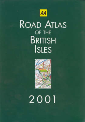
Road Atlas of the British Isles
Seiten
2000
|
11th edition
Automobile Association (Verlag)
978-0-7495-2525-5 (ISBN)
Automobile Association (Verlag)
978-0-7495-2525-5 (ISBN)
- Titel erscheint in neuer Auflage
- Artikel merken
Zu diesem Artikel existiert eine Nachauflage
Providing clear mapping of Britain, this 3 miles to 1 inch hardback road atlas features a mileage chart with journey times for better journey planning, and includes 100 places of interest and 20 new airports to bring the index to over 31,500 entries.
| Erscheint lt. Verlag | 3.7.2000 |
|---|---|
| Reihe/Serie | AA Atlases S. |
| Zusatzinfo | colour mapping |
| Verlagsort | Basingstoke |
| Sprache | englisch |
| Maße | 220 x 307 mm |
| Gewicht | 1729 g |
| Themenwelt | Reisen ► Karten / Stadtpläne / Atlanten ► Europa |
| ISBN-10 | 0-7495-2525-8 / 0749525258 |
| ISBN-13 | 978-0-7495-2525-5 / 9780749525255 |
| Zustand | Neuware |
| Haben Sie eine Frage zum Produkt? |
Mehr entdecken
aus dem Bereich
aus dem Bereich
Buch | Spiralbindung (2024)
Freytag-Berndt und ARTARIA (Verlag)
CHF 41,85


