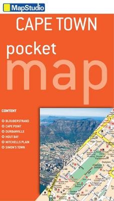
Cape Town pocket map
2012
|
9th ed
Struik Publishers,South Africa (Verlag)
978-1-77026-395-6 (ISBN)
Struik Publishers,South Africa (Verlag)
978-1-77026-395-6 (ISBN)
- Titel wird leider nicht erscheinen
- Artikel merken
This updated edition handy pocket map contains detailed maps of Cape Town and the Cape Peninsula. Including an index of street and place names. The map includes the top tourist sites of Cape Town such as Victoria and Albert Waterfront, Kirstenbosch, Bloubergstrand, Cape Point, Durbanville, Hout Bay, Mitchells Plain and Simon's Town as well as provincial historical sites, museums, art galleries, shopping malls, schools, hospitals and clinics, nature reserves, parks and additional places of interest.
| Erscheint lt. Verlag | 1.12.2012 |
|---|---|
| Sprache | englisch |
| Maße | 100 x 170 mm |
| Gewicht | 36 g |
| Themenwelt | Reisen ► Karten / Stadtpläne / Atlanten ► Afrika |
| ISBN-10 | 1-77026-395-0 / 1770263950 |
| ISBN-13 | 978-1-77026-395-6 / 9781770263956 |
| Zustand | Neuware |
| Haben Sie eine Frage zum Produkt? |
Mehr entdecken
aus dem Bereich
aus dem Bereich
Karte (gefalzt) (2024)
Freytag-Berndt und ARTARIA (Verlag)
CHF 18,95
Karte (gefalzt) (2023)
Freytag-Berndt und ARTARIA (Verlag)
CHF 21,90
reiß- und wasserfest (world mapping project)
Karte (gefalzt) (2024)
Reise Know-How (Verlag)
CHF 17,90


