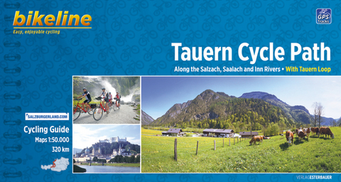
Tauern Cycle Path
Along the Salzach, Saalach and Inn Rivers - With Tauern Loop 1:50.000, 320 km
Seiten
2013
|
1., Auflage 2013
Esterbauer (Verlag)
978-3-85000-423-7 (ISBN)
Esterbauer (Verlag)
978-3-85000-423-7 (ISBN)
- Titel z.Zt. nicht lieferbar
- Portofrei ab CHF 40
- Auch auf Rechnung
- Artikel merken
The Tauern Cycle Path takes its name from the impressive Hohen Tauern mountain range. But don't worry, the route takes you through the flat valley of the Salzach River, where you only occasionally have to overcome gradients. On the 320 Kilometre route from the spectacular Krimml Waterfall, through the Salzburger Land and out into the alpine foreland, you will descend a total of 750 Metres. While the landscape at the start of the tour is dominated by tall, snow covered mountains, by the time you reach the lower reaches of the Salzach and Inn rivers, the extensive riparian forests come to dominate. The cultural highlight is naturally the city of Salzburg, but almost every town along the Tauern Cycle Path has its own particular charm.
| Erscheint lt. Verlag | 21.2.2013 |
|---|---|
| Reihe/Serie | Bikeline Radtourenbücher |
| Sprache | englisch |
| Maße | 230 x 120 mm |
| Gewicht | 205 g |
| Einbandart | Spiralbindung |
| Themenwelt | Reisen ► Sport- / Aktivreisen |
| Schlagworte | bikeline • GPS • Höhenprofil • Inn • Inn / Inntal, Karte; Radkarte • Inn / Inntal; Radkarten • Inn / Inntal; Radwanderführer • Österreich • radfahren • Radfahrweg • Radführer • Radkarte • Radreise • Radroute • Radstrecke • Radtour • Radtourenbuch • Radwandern • Radweg • Saalach • Salzach • Salzach / Salzachtal, Karte; Radkarte • Salzach / Salzachtal; Radkarten • Salzach / Salzachtal; Radwanderführer • Salzburg • Salzburg (Umgebung), Karte; Radkarte • Salzburg (Umgebung); Radkarten • Salzburg (Umgebung); Radwanderführer • Spiralbindung • Tauern • Tauern, Karte; Radkarte • Tauern; Radkarten • Tauern; Radwanderführer • Tourenbuch • Track • Übernachtungsverzeichnis |
| ISBN-10 | 3-85000-423-6 / 3850004236 |
| ISBN-13 | 978-3-85000-423-7 / 9783850004237 |
| Zustand | Neuware |
| Haben Sie eine Frage zum Produkt? |
Mehr entdecken
aus dem Bereich
aus dem Bereich
wandern durch die Kuppenrhön und die Lange Rhön
Buch | Softcover (2023)
Esterbauer (Verlag)
CHF 21,90
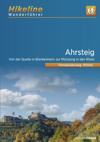
von der Quelle in Blankenheim zur Mündung in den Rhein
Buch | Softcover (2024)
Esterbauer (Verlag)
CHF 21,90
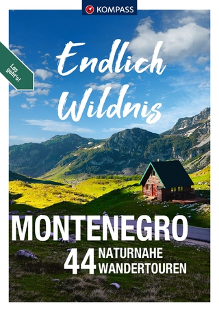
44 naturnahe Wandertouren
Buch | Softcover (2024)
Kompass-Karten (Verlag)
CHF 29,90


