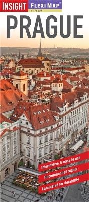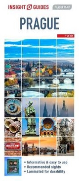
Insight Guides Flexi Map Prague
Seiten
2013
|
3rd Revised edition
Insight Guides (Verlag)
978-1-78005-461-2 (ISBN)
Insight Guides (Verlag)
978-1-78005-461-2 (ISBN)
- Titel erscheint in neuer Auflage
- Artikel merken
Zu diesem Artikel existiert eine Nachauflage
Includes 3 maps, each accompanied by separate indexes. This title gives a list - with descriptions and some photographs - of 21 recommended sights, divided by theme and linked to the mapping by numbered markers. It offers information section with concise details on getting around, tourist offices, money, tipping, opening times, and climate.
Flexi Map Prague is a laminated, tear-resistant map which includes 3 maps, each accompanied by separate indexes. The main map depicts Prague at a scale of 1:12 500, the index has been categorized for ease of use. Streets are named along with public buildings and selected hotels.
A Prague Environs map can be found on the reverse and this shows the various routes into the city. A detailed Metro plan is located on the back cover for easy reference.
Also included is a map of western Czech Republic which is depicted at a scale of 1:900 000, in addition to the road and rail networks, this map provides a detailed picture of the topography through the use of relief shading with gradients given for steep ascents.
Flexi Map Prague also gives a list - with descriptions and some photographs - of 21 recommended sights, divided by theme and linked to the mapping by numbered markers. There is also a handy information section with concise details on getting around, tourist offices, money, tipping, opening times, public holidays, telecommunications, emergency telephone numbers and climate.
| Erscheint lt. Verlag | 2.4.2013 |
|---|---|
| Reihe/Serie | Insight Guides Flexi Maps |
| Verlagsort | London |
| Sprache | englisch |
| Themenwelt | Reisen ► Karten / Stadtpläne / Atlanten ► Europa |
| ISBN-10 | 1-78005-461-0 / 1780054610 |
| ISBN-13 | 978-1-78005-461-2 / 9781780054612 |
| Zustand | Neuware |
| Haben Sie eine Frage zum Produkt? |
Mehr entdecken
aus dem Bereich
aus dem Bereich
Straßen- und Freizeitkarte 1:250.000
Karte (gefalzt) (2023)
Freytag-Berndt und ARTARIA (Verlag)
CHF 19,90
Karte (gefalzt) (2023)
Freytag-Berndt und ARTARIA (Verlag)
CHF 19,90
Östersund
Karte (gefalzt) (2023)
Freytag-Berndt und ARTARIA (Verlag)
CHF 21,90


