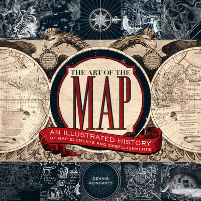
The Art of the Map
An Illustrated History of Map Elements and Embellishments
Seiten
2012
Sterling (Verlag)
978-1-4027-6592-6 (ISBN)
Sterling (Verlag)
978-1-4027-6592-6 (ISBN)
- Titel ist leider vergriffen;
keine Neuauflage - Artikel merken
An illustrated history of the golden age of cartography, from the sixteenth through to the nineteenth centuries, that explores not only the embellishments on maps but also what they reveal about the world in which they were created. It includes monsters real and imagined; ships actual and archetypical; and fauna ranging from buffalo to unicorns.
This lavishly illustrated history of the golden age of cartography, from the sixteenth through to the nineteenth centuries, explores not only the embellishments on maps but also what they reveal about the world in which they were created. Here there be monsters real and imagined; ships actual and archetypical; newly discovered flora such as corn and tobacco; fauna ranging from buffalo to unicorns; godlike beings and fantasy-like depictions of native peoples. The stunningly rendered images illuminate an entire world.
This lavishly illustrated history of the golden age of cartography, from the sixteenth through to the nineteenth centuries, explores not only the embellishments on maps but also what they reveal about the world in which they were created. Here there be monsters real and imagined; ships actual and archetypical; newly discovered flora such as corn and tobacco; fauna ranging from buffalo to unicorns; godlike beings and fantasy-like depictions of native peoples. The stunningly rendered images illuminate an entire world.
Dennis Reinhartz is professor emeritus of the University of Texas at Arlington, where he spent 35 five years as a professor of history and Russian. He has edited and contributed chapters to numerous academic books, including Mapping of Empire: Soldier-Engineers on the Southwest Frontier and The Mapping of the American Southwest.
| Erscheint lt. Verlag | 6.11.2012 |
|---|---|
| Vorwort | John Noble Wilford |
| Zusatzinfo | all in color |
| Sprache | englisch |
| Maße | 232 x 254 mm |
| Themenwelt | Kunst / Musik / Theater ► Design / Innenarchitektur / Mode |
| Kunst / Musik / Theater ► Kunstgeschichte / Kunststile | |
| Reisen ► Karten / Stadtpläne / Atlanten ► Welt / Arktis / Antarktis | |
| Geisteswissenschaften ► Geschichte ► Allgemeine Geschichte | |
| Geisteswissenschaften ► Geschichte ► Hilfswissenschaften | |
| ISBN-10 | 1-4027-6592-4 / 1402765924 |
| ISBN-13 | 978-1-4027-6592-6 / 9781402765926 |
| Zustand | Neuware |
| Haben Sie eine Frage zum Produkt? |
Mehr entdecken
aus dem Bereich
aus dem Bereich
mit Fakten und Infos zu allen Kontinenten
Buch | Hardcover (2024)
Kosmos Kartografie in der Franckh-Kosmos Verlags-GmbH & Co. …
CHF 35,90


