Caribbean
Destination Map
Seiten
2011
National Geographic Maps (Verlag)
978-1-59775-453-8 (ISBN)
National Geographic Maps (Verlag)
978-1-59775-453-8 (ISBN)
- Titel nicht im Sortiment
- Artikel merken
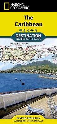
National Geographic's Caribbean Destination Map strikes the perfect balance between map and guidebook and is ideal for a wide range of travelers. The map includes a detailed road network and important travel information including National Parks and protected areas, airports, cruise ports, beaches, historic sites and ruins, and sites for recreation activities including diving, surfing, sailing, and golfing. The Caribbean Destination Map is printed on durable, waterproof and tear-resistant material.
Founded in 1915 as the Cartographic Group, the first division of the National Geographic Society, National Geographic Maps has been responsible for illustrating the world around us through the art and science of mapmaking. Today, National Geographic Maps continues this mission by creating the world's best wall maps, recreation maps, atlases, and globes which inspire people to care about and explore their world. All proceeds from the sale of National Geographic maps go to support the Society's non-profit mission to increase global understanding and promote conservation of our planet through exploration, research, and education.
| Erscheint lt. Verlag | 17.10.2011 |
|---|---|
| Verlagsort | Evergreen |
| Sprache | englisch |
| Maße | 108 x 234 mm |
| Gewicht | 94 g |
| Themenwelt | Reisen ► Karten / Stadtpläne / Atlanten ► Nord- / Mittelamerika |
| Reiseführer ► Nord- / Mittelamerika ► Karibik | |
| ISBN-10 | 1-59775-453-6 / 1597754536 |
| ISBN-13 | 978-1-59775-453-8 / 9781597754538 |
| Zustand | Neuware |
| Haben Sie eine Frage zum Produkt? |