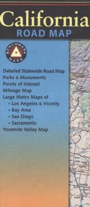
California Road Map
Seiten
2017
|
2017th Revised ed.
Benchmark Maps (Verlag)
978-0-7834-9904-8 (ISBN)
Benchmark Maps (Verlag)
978-0-7834-9904-8 (ISBN)
- Keine Verlagsinformationen verfügbar
- Artikel merken
This folded map of the Golden State is the ideal companion to the California Road & Recreation Atlas. The entire state is shown on one side and is enhanced with enlargements of the Redwood Coast, Nap/Sonoma, Lake Tahoe, Yosemite Valley, Monterey, Santa Barbara, and Palm Springs areas. Metro areas (Bay Area, Los Angeles, San Diego, and Sacramento) are covered in detail for urban exploration.
In 1995, three respected mapping firms collaborated on a vision they shared for a new line of state road atlases. The result was Benchmark Maps: a partnership that would apply the unique talents of each company to produce atlases with an entirely new kind of look and presentation. These new atlases would combine strikingly beautiful Landscape Maps(TM) with data collection of unequaled accuracy and detail. Since our beginning, well over a million Benchmark maps and atlases have been purchased by discriminating map users from all over the world. It's not unusual for us to hear from people who have purchased a copy of every one of our atlases.
| Erscheint lt. Verlag | 1.1.2017 |
|---|---|
| Zusatzinfo | 1 Illustrations |
| Sprache | englisch |
| Maße | 102 x 229 mm |
| Themenwelt | Reisen ► Karten / Stadtpläne / Atlanten ► Nord- / Mittelamerika |
| Reiseführer ► Nord- / Mittelamerika ► USA | |
| ISBN-10 | 0-7834-9904-3 / 0783499043 |
| ISBN-13 | 978-0-7834-9904-8 / 9780783499048 |
| Zustand | Neuware |
| Haben Sie eine Frage zum Produkt? |
Mehr entdecken
aus dem Bereich
aus dem Bereich
Karte (gefalzt) (2024)
Michelin Editions des Voyages (Verlag)
CHF 20,55
Map
Karte (gefalzt) (2024)
Michelin Editions des Voyages (Verlag)
CHF 15,90


