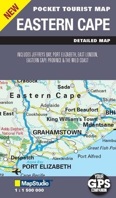
Pocket tourist map Eastern Cape
2010
|
3rd ed
Struik Publishers,South Africa (Verlag)
978-1-77026-232-4 (ISBN)
Struik Publishers,South Africa (Verlag)
978-1-77026-232-4 (ISBN)
- Titel wird leider nicht erscheinen
- Artikel merken
Convenient pocket size map with latest updated information including key tourist areas and street plans. Includes detailed regional maps of Jeffrey's bay, the Wild Coast region and street maps of East London and Port Elizabeth. The map shows major and minor roads, railway stations, places of interest, mountain passes, national parks and reserves, route numbers and distances, airports, airfields, settlements, museums, historical and provincial heritage sites, fishing and hiking areas. Map includes a detailed index.
| Sprache | englisch |
|---|---|
| Maße | 110 x 170 mm |
| Gewicht | 40 g |
| Themenwelt | Reisen ► Karten / Stadtpläne / Atlanten ► Afrika |
| ISBN-10 | 1-77026-232-6 / 1770262326 |
| ISBN-13 | 978-1-77026-232-4 / 9781770262324 |
| Zustand | Neuware |
| Informationen gemäß Produktsicherheitsverordnung (GPSR) | |
| Haben Sie eine Frage zum Produkt? |
Mehr entdecken
aus dem Bereich
aus dem Bereich
Karte (gefalzt) (2025)
Freytag-Berndt und ARTARIA (Verlag)
CHF 21,90
Straßenkarte und Autokarte mit sehenswerten Strecken, Highlights und …
Karte (gefalzt) (2025)
MAIRDUMONT (Verlag)
CHF 21,90
Karte (gefalzt) (2024)
Reise Know-How Verlag Peter Rump GmbH
CHF 22,90


