


USA
1998
|
2nd ed.
Michelin Maps (Verlag)
978-2-06-700935-6 (ISBN)
Michelin Maps (Verlag)
978-2-06-700935-6 (ISBN)
- Titel erscheint in neuer Auflage
- Artikel merken
Zu diesem Artikel existiert eine Nachauflage

Indicating more than 4700 towns and cities, this political map of the USA uses over 35 colour tints to distinguish the states, Canadian provinces and Mexican states. It depicts the flags of all 50 US states, as well as the DC and national flags, and contains statistical information for each state.
Indicating more than 4700 towns and cities, this political map of the USA uses over 35 colour tints to distinguish the states, Canadian provinces and Mexican states. It depicts the flags of all 50 US states, as well as the DC and national flags, and contains statistical information for each state, covering topics such as postal abbreviation, nickname, 1994 population, surface area, date of joining the Union, and state capital. The major road network of the United States, Canada and Mexico is depicted, together with Indian reservations, and a concise, inset map indicates time-zones.
Indicating more than 4700 towns and cities, this political map of the USA uses over 35 colour tints to distinguish the states, Canadian provinces and Mexican states. It depicts the flags of all 50 US states, as well as the DC and national flags, and contains statistical information for each state, covering topics such as postal abbreviation, nickname, 1994 population, surface area, date of joining the Union, and state capital. The major road network of the United States, Canada and Mexico is depicted, together with Indian reservations, and a concise, inset map indicates time-zones.
| Reihe/Serie | Michelin Maps ; No. 935 |
|---|---|
| Zusatzinfo | Col.M. |
| Verlagsort | Watford |
| Sprache | englisch |
| Maße | 76 x 1067 mm |
| Gewicht | 386 g |
| Themenwelt | Reisen ► Karten / Stadtpläne / Atlanten ► Nord- / Mittelamerika |
| ISBN-10 | 2-06-700935-4 / 2067009354 |
| ISBN-13 | 978-2-06-700935-6 / 9782067009356 |
| Zustand | Neuware |
| Informationen gemäß Produktsicherheitsverordnung (GPSR) | |
| Haben Sie eine Frage zum Produkt? |
Mehr entdecken
aus dem Bereich


aus dem Bereich
Karte (gefalzt) (2024)
Freytag-Berndt und ARTARIA (Verlag)
CHF 18,95
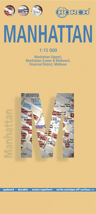
Manhattan (Upper), Manhattan (Lower & Midtown), Financial
Karte (gefalzt) (2020)
Borch (Verlag)
CHF 13,90
Inkl. Stadtpläne, Ortsverzeichnis und Reiseinformationen
Karte (gefalzt) (2023)
Hallwag (Verlag)
CHF 19,85