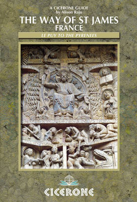
The Way of St James - France
Cicerone Press (Verlag)
978-1-85284-608-4 (ISBN)
- Titel ist leider vergriffen;
keine Neuauflage - Artikel merken
This comprehensive guidebook covers the 730km Way of St James pilgrim route from Le Puy-en-Velay in central France to Saint-Jean-Pied-de-Port in the Pyrenees. As well as giving step by step directions the book also provides information on places to visit along the way, the history of the pilgrimage and details of the facilities such as shops, bars, restaurants and accommodation. An outline of the route along the Cele valley (53km), from Saint-Jean-Pied-de-Port to Pamplona, and St Palais to Irun to join the Camino del Norte are also included. A companion volume by the same author, The Way of St James - Spain, continues the route through Spain from the Pyrenees to Santiago de Compostella (or Finisterre).
Alison Raju is a former teacher of French, German and Spanish to adults and the author of two other current Cicerone guides to pilgrimage routes: The Way of St James -Spain, and Via de la Plata. She is also the author of a forthcoming two-volume Cicerone guide to the Via Francigena, the historic pilgrim route from Canterbury to Rome.
INTRODUCTION
Pilgrim Roads to Santiago through France and Spain
History
Topography, Economy and Language
Before you Go
Companions
Planning your Schedule
Equipment
Getting There and Back
Accommodation
Planning the Day
Other Practical Information
Using this Guide
When to Go
THE ROUTE
Section 1 Le Puy-en-Velay to Figeac
Section 2 Figeac to Moissac
Section 3 Moissac to Aire-sur-l'Adour
Section 4 Aire-sur-l'Adour to the Pyrenees
APPENDIX A Saint-Jean-Pied-de-Port to Roncesvalles
APPENDIX B Saint-Palais to Irún
APPENDIX C GR651 - Variant along the Vallée du Célé
APPENDIX D Summary of St James's and other Pilgrim References
APPENDIX E Suggestions for Further Reading
APPENDIX F Useful Addresses
APPENDIX G Glossary
APPENDIX H Index of Principal Place Names
APPENDIX I Index of Maps
APPENDIX J Summary of Route
| Erscheint lt. Verlag | 2.2.2017 |
|---|---|
| Zusatzinfo | 20 colour maps and 60 colour photographs |
| Verlagsort | Kendal |
| Sprache | englisch |
| Maße | 116 x 172 mm |
| Gewicht | 270 g |
| Themenwelt | Sachbuch/Ratgeber ► Sport |
| Reiseführer ► Europa ► Frankreich | |
| ISBN-10 | 1-85284-608-9 / 1852846089 |
| ISBN-13 | 978-1-85284-608-4 / 9781852846084 |
| Zustand | Neuware |
| Informationen gemäß Produktsicherheitsverordnung (GPSR) | |
| Haben Sie eine Frage zum Produkt? |
aus dem Bereich


