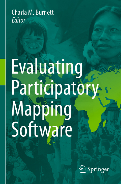
Evaluating Participatory Mapping Software
Springer International Publishing (Verlag)
978-3-031-19596-9 (ISBN)
This volume provides a framework for evaluating geospatial software for participatory mapping. The evaluation is based on ten key indicators: ethics, cost, technical level, inclusiveness, data accuracy, data privacy, analytical capacity, visualization capacity, openness, and accessibility (i.e., mobile friendly or offline capabilities). Each application is evaluated by a user and cross analyzed with specific case studies of the software's real-world application. This framework does not discriminate against assessing volunteered geographic information (VGI) applications, as a form of participatory mapping, in circumstances that its application is spearheaded by underrepresented groups with the intent to empower and spark political or behavioral change within formal and informal institutions. Each chapter follows a strict template to ensure that the information within the volume can be updated periodically to match the ever-changing technological environment. The book covers ten different mapping applications with the goal of creating a comparative evaluation framework that can be easily interpreted by convening institutions and novice users. This will also help identify gaps in software for participatory mapping which will help to inform application development in the future and updates to current geospatial software.
Named one of Forbes Magazine's Top 100 under 30 Scholars, Charla M. Burnett is a community mediator that specializes in strategic planning and decision support technologies. She holds a BA in Global Studies, MA in Conflict Transformation, and is a Ph.D. Candidate in Global Governance and Human Security. She has helped coordinate advocacy campaigns and manage service implementation for Sierra Club and Cambridge for Immigrant Rights and develop strategic plans, M&E and theory of change for Jerusalem Peacebuilders, the United Nations Relief and Works Agency (UNRWA), and SeaSketch. She's also the founder of two successful nonprofit organizations- Refugees Welcome! and the International Society for Participatory Mapping (ISPM).
Chapter 1: Introduction to Participatory Mapping Software and Evaluation.- Chapter 2: Collector for ArcGIS.- Chapter 3: Field Papers.- Chapter 4: GeoODK.- Chapter 5: Maptionnaire.- Chapter 6: KoBoToolbox.- Chapter 7: SeaSketch.- Chapter 8: Sapelli.- Chapter 9: Survey123.- Chapter 10: Ushahidi.- Chapter 11: Mapeo.- Chapter 12: Terrastories.- Chapter 13: Portable OpenStreetMap.- Chapter 14: MapBox.- Chapter 15: Trends and Conclusions.
"A unique aspect of the work is the authorship of the nine tool chapters. ... Each tool is evaluated using 11 criteria and narratives of field uses and casestudies. The diverse authorship results in variation of styles and focus for each chapter... I recommend this book to those seeking an analytical framework for evaluating PM tools." (Nancy Eickelmann, Computing Reviews, August 5, 2024)
| Erscheinungsdatum | 24.04.2024 |
|---|---|
| Zusatzinfo | XXV, 265 p. 69 illus., 64 illus. in color. |
| Verlagsort | Cham |
| Sprache | englisch |
| Maße | 155 x 235 mm |
| Themenwelt | Naturwissenschaften ► Geowissenschaften ► Geografie / Kartografie |
| Schlagworte | Community-based PGIS • Conflict Analysis • Data accessibility • data collection • Geospatial design • Geospatial software • Participatory Mapping • Systems services |
| ISBN-10 | 3-031-19596-5 / 3031195965 |
| ISBN-13 | 978-3-031-19596-9 / 9783031195969 |
| Zustand | Neuware |
| Informationen gemäß Produktsicherheitsverordnung (GPSR) | |
| Haben Sie eine Frage zum Produkt? |
aus dem Bereich


