Esri Guide to Gis Analysis,vol 2
ESRI Press (Verlag)
9781589481169 (ISBN)
- Titel erscheint in neuer Auflage
- Artikel merken
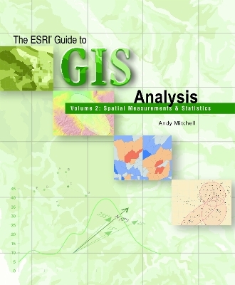
As the tools available through commercial GIS software have grown in sophistication, a need has emerged to instruct users on the best practices of true GIS analysis. In this sequel to the best-selling ""The ESRI Guide to GIS Analysis, Volume 1"", author Andy Mitchell delves into the more advanced realm of spatial measurements and statistics. The premise of ""The ESRI Guide to GIS Analysis, Volume 2"", targets GIS technology as having been well used as a display and visualization medium but not so widely used as an implement for real analysis. Covering topics that range from identifying patterns and clusters to analyzing geographic relationships, this book is a valuable resource for GIS users performing complex analysis.
Andy Mitchell is the author of The ESRI Guide to GIS Analysis, Volume 1: Geographic Patterns and Relationships (Esri Press, 1999) and The Esri Guide to GIS Analysis, Volume 3: Modeling Suitability, Movement, and Interaction (Esri Press, 2012).
Preface
Acknowledgments
Chapter 1: Introducing Spatial Measurements and Statistics
What are spatial measurements and statistics?
Geographic analysis with statistics
Understanding Data Distributions
Chapter 2: Measuring Geographic Distributions
Why measure geographic distributions?
Finding the center
Measuring the compactness of the distribution
Measuring orientation and direction
References and further reading
Testing Statistical Significance
Chapter 3: Identifying Patterns
Why identify geographic patterns?
Using statistics to identify patterns
Measuring the pattern of feature locations
Measuring the spatial pattern of feature values
References and further reading
Defining Spatial Neighborhoods And Weights
Chapter 4: Identifying Clusters
Why identify spatial clusters?
Using statistics to identify clusters
Finding clusters of features
Finding clusters of similar values
References and further reading
Using Statistics With Geographic Data
Chapter 5: Analyzing Geographic Relationships
Why analyze geographic relationships?
Using statistics to analyze relationships
Identifying geographic relationships
Analyzing geographic processes
References and further reading
Data credits
Software credits
Index -- Esri
| Erscheint lt. Verlag | 1.7.2009 |
|---|---|
| Verlagsort | Redlands |
| Sprache | englisch |
| Themenwelt | Naturwissenschaften ► Geowissenschaften ► Geografie / Kartografie |
| ISBN-13 | 9781589481169 / 9781589481169 |
| Zustand | Neuware |
| Informationen gemäß Produktsicherheitsverordnung (GPSR) | |
| Haben Sie eine Frage zum Produkt? |
aus dem Bereich


