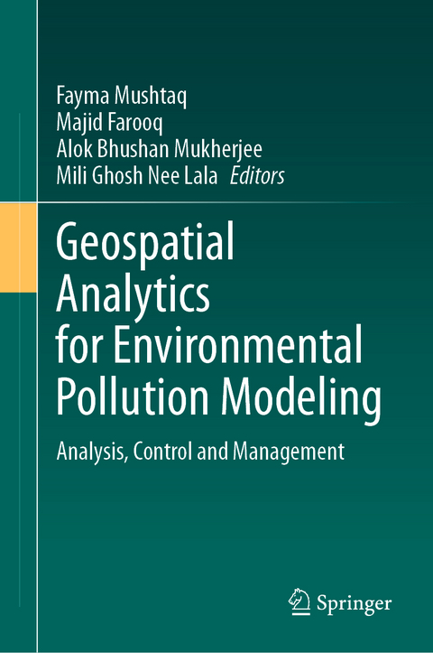
Geospatial Analytics for Environmental Pollution Modeling
Springer International Publishing (Verlag)
978-3-031-45299-4 (ISBN)
lt;b> Fayma Mushtaq is working as Geospatial Analyst at Department of Ecology, Environment and Remote Sensing, Government of Jammu and Kashmir. She is an adept GIS professional with Post-Doctorate in Remote Sensing & GIS. She graduated with an M.Sc. in Remote Sensing & GIS from Jiwaji University, Gwalior, as gold medalist. She earned her Ph.D. degree from Department of Remote sensing, Birla Institute of Technology Mesra, Ranchi. She utilizes Geospatial technologies and analytical methods to conduct innovative research, develop solutions, and work with stakeholders to address the complex environmental issues. She has 11 publications in reputed International Peer Reviewed Journals besides having 7 conference publications, 2 book chapters and 5 scientific reports to her credit. Her expertise and research interests include Spatial Analysis and Modelling (Predictive / Regression), Image Processing Climate Change Vulnerability and Risk Assessment, Water Quality Assessment, Lightning Activity Studies, Policy Documentation, etc.
Majid Farooq is Scientist with the Department of Ecology, Environment and Remote Sensing, Government of Jammu and Kashmir. He is proficient GIS professional with Ph.D. in Geoinformatics having extensive experience in geospatial technology and climate change spanning over 17 years. He did his M.Tech in Remote Sensing and GIS from SRM University Chennai, and M.Sc. in Ecology & Environment. He has produced high-quality knowledge research reports and publications for addressing complex environmental issues to diverse audiences. He has more than 45 publications in reputed National and International Peer Reviewed Journals besides having 4 books and 7 book chapters to his credit. His research interests include Climate Change Modelling, Vulnerability and Risk Assessment, Spatial Analysis and Modelling, Forest, Wildlife, Disaster Management, Environmental Planning and Policy Design and Documentation.
Alok Bhushan Mukherjee is associated with Leads NexTech India Pvt. Ltd. as a Co-Founder and Director - Product, Research & Analytics. He has done his M.Sc in information science, M.Tech in Remote Sensing, P.hD in Remote Sensing from Birla Institute of Technology, Mesra Ranchi. Previously at LeadsConnect Services Private Limited as Chief Remote Sensing-GIS Analyst he has been involved in developing Space/Earth-Tech Analytics models for investigating various aspects of the Earth System using Mathematical / Statistical, and AI /ML frameworks. His technical strength is in the domain of Land System Ecology, Agro-Ecology, Climate & Disaster Risk Management, Sustainability Analytics, Mathematical & Statistical Modelling, Scientific Computing, Machine Learning, Causal AI & Computational Anthropology. He has written Research-Based / Conference Articles, Books (Authored, Edited) & Analytical Stories.
Mili Ghosh Nee Lala is an Associate Professor in the Department of Remote Sensing, Birla Institute of Technology, Mesra, Ranchi, Jharkhand, India. She did her M.Sc in Physics from T.M. Bhagalpur University, M.Tech in Remote Sensing from Birla Institute of Technology, Mesra Ranchi. With 14 years of teaching experience and a remarkable 20-year research journey, she holds Ph.D. degree from Department of Civil Engineering (Geomatics Section), Indian Institute of Technology, Roorkee. With a profound interest in planetary science, she has also led remarkable research endeavors in the estimation of Martian Surface temperature using Thermal Infrared Spectrometer (TIS) data. Her work delved into assessing the inter-annual variability of Martian surface temperature within the current Martian climate, aligned with morphological units derived from the Mars Colour Camera (MCC) data. This groundbreaking study was undertaken under the aegis of ISRO, Bangalore, showcasing her expertise in planeta
Chapter 1: Types of Environmental Pollution and Its Effects On The Environment and Society.- Chapter 2: Geostatistical Methods and Framework For Pollution Modelling.- Chapter 3: GIS-based Modelling for Estimation of Water Quality Parameters: A Review.- Chapter 4: Air Quality Monitoring Using Geospatial Technology and Field Sensors.- Chapter 5: Geospatial Techniques and Methods for Monitoring and Assessment of Soil Contaminants.- Chapter 6: Geospatial Modelling and Framework For the Detection and Mapping of Noise Pollution.- Chapter 7: Urban Areas and Air Pollution: Causes, Concerns and Mitigation.- Chapter 8: Constructing The Dynamics of Water Quality Parameters Using Geospatial Technology and In Situ Observations.- Chapter 9: Urban Air Quality Monitoring and Modelling Using Ground Monitoring, Remote Sensing and GIS.- Chapter 10: Assessment of Soil Contamination Using Remote Sensing and Spatial Techniques.- Chapter 11: Noise Pollution Modelling Using Gis Techniques in Srinagar City.- Chapter 12: Geostatistics Interceded Groundwater Quality Study With Emphasis on Kriging Across the Andhra Pradesh State Of India.- Chapter 13: Air Quality and Human Health.- Chapter 14: Significance of Geo-Visualization Tools For Pollution Monitoring.- Chapter 15: Environmental Pollution Control Measures And Strategies: An Overview Of Recent Developments.- Chapter 16: Environmental Legislation and Global Initiatives.
| Erscheinungsdatum | 02.12.2023 |
|---|---|
| Zusatzinfo | XVII, 437 p. 120 illus., 113 illus. in color. |
| Verlagsort | Cham |
| Sprache | englisch |
| Maße | 155 x 235 mm |
| Gewicht | 841 g |
| Themenwelt | Sachbuch/Ratgeber ► Natur / Technik ► Natur / Ökologie |
| Naturwissenschaften ► Biologie ► Ökologie / Naturschutz | |
| Naturwissenschaften ► Geowissenschaften ► Geografie / Kartografie | |
| Schlagworte | Air quality monitoring • Environmental Management • Environmental Pollution • Geospatial Analytics • geo-visualization • GIS |
| ISBN-10 | 3-031-45299-2 / 3031452992 |
| ISBN-13 | 978-3-031-45299-4 / 9783031452994 |
| Zustand | Neuware |
| Haben Sie eine Frage zum Produkt? |
aus dem Bereich


