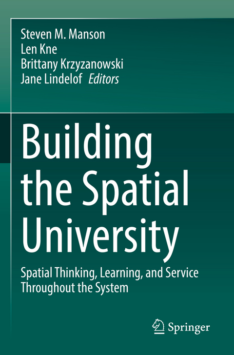
Building the Spatial University
Springer International Publishing (Verlag)
978-3-030-92849-0 (ISBN)
This volume discusses the concept of The Spatial University as part of the broad growth of spatial science and the need for spatial infrastructure in colleges and universities. The book centers on the development of U-Spatial, the spatial science infrastructure at the University of Minnesota that offers a range of spatial activities and services, including data access, training, and community building. Against a backdrop of the changing nature of research, teaching, and service in higher education, the story of U-Spatial anchors a broader discussion of what it means to be a spatial university. This narrative framing demonstrates-with specific examples-the importance of institutions offering dedicated spatial research infrastructure. In six chapters, the text explores the importance of spatial thinking, learning, and research for student and researcher success. The volume offers lessons that are applicable far beyond the University of Minnesota to apply to a broad array of domains and institutional specializations. The book will be useful to students, researchers, and policymakers concerned with how institutions can encourage spatial research, teaching, and service. It will also appeal to researchers and practitioners interested in broader uses of spatial science.
This book shows how GIS can transform a university, speaking to the need for leadership in higher education around the power of bringing everything together using spatial and geographic concepts.
Jack DangermondCo-Founder and President, Esri
lt;p>Steven Manson combines environmental research, social science approaches, and spatial information science to understand complex human-environment systems. He is particularly interested in spatial science for understanding decision making and institutions in coupled population-environmental dynamics. He has developed innovative statistical and computer modeling approaches and leads or participates in several large research projects that continue to develop big human-environmental data that is used by thousands of researchers, policy makers, students, and members of the public.
Len Kne, GISP, brings extensive experience with GIS and Information Technologies in higher education, construction, government, and non-profit organizations to his work at U-Spatial, a center at the University of Minnesota providing support for spatial research. He is a member of the faculty of the Master of Geographic Information Science program and is driven to promote spatial thinking across campus.
Brittany Krzyzanowski uses big data and interdisciplinary approaches to examine geographical, environmental, and societal influences on human health and well-being. Beyond her interests in GISc and population health, at the University of Minnesota, she worked with U-spatial and several interdisciplinary teams on advancing GIS as a tool for teaching and learning across campus. While completing her doctoral studies there, she developed innovative approaches to advance public health research methods and promote transparency in the use and application of complex geospatial techniques.
Jane Lindelof brings a broad history as a science communicator and editor across non-profit, private, and higher education sectors. A "humanities person," she has spent her career in the sciences, focusing primarily on issues of climate change, renewable energy, and conservation. This background, as well as her experience in community engagement and organizing, led her to a position at U-Spatial, where she is particularly interested in the storytelling potential of spatial research to bring about transformational change.
Chapter 1. Three Scales of the Spatial University.- Chapter 2. U-Spatial: Nexus of the Spatial University.- Chapter 3. Spatial university for service and support.- Chapter 4. Spatial thinking and learning.- Chapter 5. Spatial science and research.- Chapter 6. Future of the Spatial University.
| Erscheinungsdatum | 27.02.2023 |
|---|---|
| Zusatzinfo | XIII, 118 p. 18 illus., 17 illus. in color. |
| Verlagsort | Cham |
| Sprache | englisch |
| Maße | 155 x 235 mm |
| Gewicht | 219 g |
| Themenwelt | Naturwissenschaften ► Geowissenschaften ► Geografie / Kartografie |
| Schlagworte | Automated mapping • Geodesign • Geographic information science • Spatial Data Infrastructure • Spatial infrastructure • spatial research • Spatial thinking • University of Minnesota • U-Spatial |
| ISBN-10 | 3-030-92849-7 / 3030928497 |
| ISBN-13 | 978-3-030-92849-0 / 9783030928490 |
| Zustand | Neuware |
| Informationen gemäß Produktsicherheitsverordnung (GPSR) | |
| Haben Sie eine Frage zum Produkt? |
aus dem Bereich


