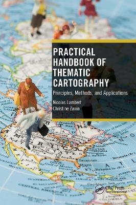
Practical Handbook of Thematic Cartography
CRC Press (Verlag)
978-1-032-47447-2 (ISBN)
Maps are tools used to understand space, discover territories, communicate information, and explain the results of geographical analysis. This practical handbook is about thematic cartography. With more than 120 colorful amazing illustrations, numerous boxed texts, definitions, and helpful tools, this step-by-step introduction to cartography is both the art of understanding the world and a powerful tool for explaining it. Through many hands-on tests, the reader will learn how to produce an interesting and communicative map applied to any spatial theme.
Written by experienced scholars and experts in cartography, this book is an excellent resource for undergraduate students and non-cartographers interested in designing, understanding, and interpreting maps. It includes practical exercises explained in the form of a game and provides a concise, accessible, and current address of cartographic principles, allowing readers to go deeper into cartographic design. It can be read from beginning to end like an essay or just by dipping into it for information as needed.
Nicolas Lambert is a cartographer, member of the interdisciplinary network for the European spatial planning (RIATE). Involved in the European research program ESPON, his works mainly deal with the graphic representation of spatial information, for which he is developing a critical and radical dimension. Also member of the network Migreurop and of the French committee for cartography, he has taken part in the production of different publications such as the Atlas of Europe in the world (2008), The Atlas of migrants in Europe (2009, 2012, 2017) and a mapping manual (2016). He teaches cartography at the university of Paris Diderot. Christine Zanin is a Professor in Geography at the University Paris Diderot – Paris 7 and the Director of UMS 2414 RIATE. She is member of many organizations and has been awarded 2009 Prix Diderot Innovation, CNRS. Her current research is in cartography and territorial decision, and interactive cartography.
Foreword. Authors. General Introduction. Part 1. Geographical Information. 1. Geometrical Data. 2. Statistical Data. Conclusion: Designing Maps. Part 2. Cartographical Language. 3. Differential/Associative Visual Variables. 4. Ordered Visual Variables. 5. The Visual Variables Expressing Proportionality. 6. Solutions in Statistical Mapping. Conclusion: Combining Visual Variables. Part 3. Beyond the Visual Variables. 7. Other Cartographic Presentations. 8. Staging. 9. Variations on a Theme. Conclusion: Cartography Is a Martial Art. General Conclusion. Annexes. Bibliography. Index.
| Erscheinungsdatum | 11.01.2023 |
|---|---|
| Zusatzinfo | 130 Illustrations, color |
| Verlagsort | London |
| Sprache | englisch |
| Maße | 156 x 234 mm |
| Gewicht | 385 g |
| Themenwelt | Naturwissenschaften ► Geowissenschaften ► Geografie / Kartografie |
| ISBN-10 | 1-032-47447-5 / 1032474475 |
| ISBN-13 | 978-1-032-47447-2 / 9781032474472 |
| Zustand | Neuware |
| Haben Sie eine Frage zum Produkt? |
aus dem Bereich


