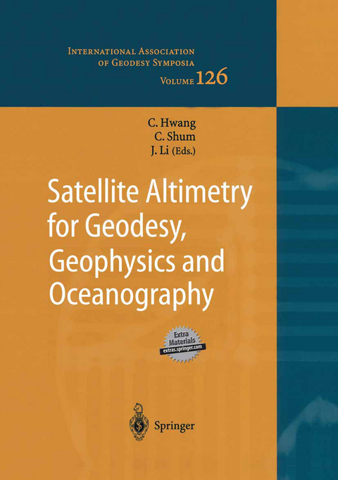
Satellite Altimetry for Geodesy, Geophysics and Oceanography
Springer Berlin (Verlag)
9783540202110 (ISBN)
Latest results in satellite altimetry research touching all disciplines of earth sciences; useful data processing techniques and novel applications combined in one book.
Keynote Speeches.- Geodetic Applications of Satellite Altimetry.- Present-day Sea Level Rise : from Satellite and in Situ Observations to Physical Causes.- Advances in Large-scale Ocean Dynamics from a Decade of Satellite Altimetric Measurement of Ocean Surface Topography.- Geodetic Applications.- Calibration Results of GFO.- Determination of 30? x 30? Marine Gravity Anomalies from Multisatellite Altimetry.- Recovering Deflections of Vertical from Tangent Plane of Gridded Geoidal Heights from Altimetry.- Marine Gravity Anomaly from Satellite Altimetry: a Comparison of Methods over Shallow Waters.- Enhanced Free-air Gravity Anomalies by Satellite Radar Altimetry.- Topex Altimetric Mean Sea Level and Gravimetric Geoid in the North of Algeria.- A Modified Method for Recovering Bathymetry from Altimeter Data.- Absolute Calibration of the ERS-2 Altimeter using UK Tide Gauges.- An Intercomparison of Parametric Models of Sea State Bias for the TOPEX, Poseidon and Jason-1 Altimeters.- Determination of Global Mean Sea Surface Using Multi-satellite Altimetric Data.- Pseudo-Harmonic Representation of Gravity Field over South China Sea.- Geophysical and Oceanographic Applications.- Investigation of Hydrological and Atmospheric Loading by Space Geodetic Techniques.- Joint Application of Altimeter Data and EGM96 to Submarine Tectonic and Geodynamic Study in West Pacific.- Bathymetry and Crustal Thickness Variations from Gravity Inversion and Flexural Isostasy.- Comparisons of Three Inversion Approaches for Recovering Gravity Anomalies From Altimeter Data.- Accuracy Assessment of Gravity Field Models by Independent Satellite Crossover Altimetry.- Low Frequency Change of Sea Level in the North Atlantic Ocean as Observed with Satellite Altimetry.- Application of Satellite RemoteSensing on the Tuna Fishery of Eastern Tropical Pacific.- The Kinematics of Mesoscale Eddies from TOPEX/POSEIDON Altimetry over the Subtropical Counter Current.- Oceanographic applications.- Oceanography with GPS.- Geostrophic Uncertainty and Anomalous Current Structure in Association with Mesoscale Eddies Delineated by Altimeter Observations East of Taiwan.- Current Variability over the Scotian Slope in the 1990s.- Determination of Sea Level Height Variation by Dynamics Crossover Adjustment.- Extreme Southern Ocean Tide Modeling.- The M4 Shallow Water Tidal Constituent From Altimetry.- Harmonic Tidal Analysis Along T/P Tracks in China Seas and Vicinity.- Analysis of Temporal Sea Level Variation in the Barents and the White Seas from Altimetry, Tide Gauges and Hydrodynamic Simulation.- The Envisat Radar Altimeter System.- Absolute Comparison of Satellite Altimetry and Tide Gauge Registrations in Venezuela.- Sea Level Changes Detected by Using Satellite Altimeter Data and Comparing with Tide Gauge Records in China Sea.- Author index.
| Erscheint lt. Verlag | 16.12.2003 |
|---|---|
| Reihe/Serie | International Association of Geodesy Symposia |
| Zusatzinfo | XVII, 280 p. |
| Verlagsort | Berlin |
| Sprache | englisch |
| Maße | 210 x 279 mm |
| Gewicht | 1025 g |
| Themenwelt | Naturwissenschaften ► Geowissenschaften ► Geografie / Kartografie |
| Naturwissenschaften ► Geowissenschaften ► Geologie | |
| Naturwissenschaften ► Geowissenschaften ► Geophysik | |
| Naturwissenschaften ► Geowissenschaften ► Hydrologie / Ozeanografie | |
| Schlagworte | Atlantic Ocean • Envisat • Geodesy • Geoinformationssysteme • Geophysics • Höhenmessung • Marine • ocean • Oceanography • Remote Sensing • Satellite altimetry • Satellitengeodäsie • sea level • Southern Ocean • Tide • TOPEX/Poseidon |
| ISBN-13 | 9783540202110 / 9783540202110 |
| Zustand | Neuware |
| Informationen gemäß Produktsicherheitsverordnung (GPSR) | |
| Haben Sie eine Frage zum Produkt? |
aus dem Bereich


