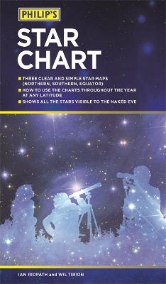
Philip's Star Chart
Seiten
2018
Philip's (Verlag)
978-1-84907-487-2 (ISBN)
Philip's (Verlag)
978-1-84907-487-2 (ISBN)
- Titel ist leider vergriffen;
keine Neuauflage - Artikel merken
The Philip's Star Chart - maps of the night sky which bring astronomy to life
Three clear and simple star maps explain the night skies visually
Charts of the Northern Hemisphere, the Southern Hemisphere and the Equatorial Region
How to use the charts throughout the year at any latitude
Shows all the stars visible to the naked eye
Also features charts of the major constellations, star clusters and nebulae
Philip's has been at the forefront of creating maps and atlases since 1834. Whether a local street map or a fact-packed World Atlas, we use the most up-to-date technology, expertise and our global network to ensure our customers have all the information they need.
| Erscheinungsdatum | 21.09.2018 |
|---|---|
| Verlagsort | London |
| Sprache | englisch |
| Maße | 132 x 230 mm |
| Gewicht | 111 g |
| Themenwelt | Sachbuch/Ratgeber ► Natur / Technik ► Weltraum / Astronomie |
| Naturwissenschaften ► Physik / Astronomie ► Astronomie / Astrophysik | |
| ISBN-10 | 1-84907-487-9 / 1849074879 |
| ISBN-13 | 978-1-84907-487-2 / 9781849074872 |
| Zustand | Neuware |
| Haben Sie eine Frage zum Produkt? |
Mehr entdecken
aus dem Bereich
aus dem Bereich
Perspektiven auf die Menschheit
Buch | Hardcover (2024)
Klett-Cotta (Verlag)
CHF 34,95
auf der Suche nach neuen Planeten und außerirdischem Leben
Buch | Hardcover (2024)
Droemer (Verlag)
CHF 33,55


