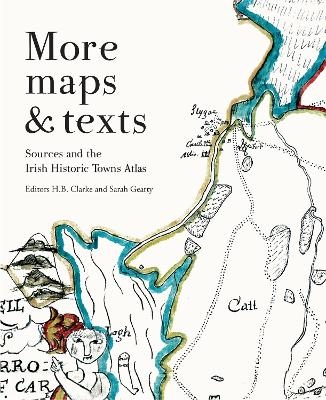
More maps and texts: sources and the Irish Historic Towns Atlas
Seiten
2018
Royal Irish Academy (Verlag)
978-1-908997-73-9 (ISBN)
Royal Irish Academy (Verlag)
978-1-908997-73-9 (ISBN)
Maps and texts: evualuating the Irish Historic Towns Atlas, edited by H.B. Clarke and Sarah Gearty, brings together proceedings from the annual IHTA seminar series ‘Maps and texts: using the Irish Historic Towns Atlas’ that took place in the Royal Irish Academy from 2012 to 2014. The book contains comparative essays on Irish towns in thematic sections.
The IHTA is the leading authority for Irish comparative urban studies. Maps and texts examines various components of town-type and town-life in Ireland from monastic foundations to Victorian towns. By using the IHTA series, experts offer their insights on urban life such as the impact of the environment, religion, castles and the big house, the coming of the canal and railway, military barracks and public buildings on Irish towns. Case studies on Derry~Londonderry, Dublin and Limerick are also presented alongside an art-historical perspective of Anglo-Norman, Gaelicised and plantation towns.
Contributors: Toby Barnard, Helene Bradley, H.B. Clarke, Frank Cullen, Sarah Gearty, Rob Goodbody, David Fleming, Raymond Gillespie, Andy Halpin, Brian Hodkinson, Arnold Horner, Annaleigh Margey, Rachel Moss, Margaret Murphy, Cóilín Ó Drisceoil, Nollaig Ó Muraíle, Jacinta Prunty and Catherine Swift.
Sarah Gearty is the Cartographic and Managing Editor of the Irish Historic Towns Atlas project. H.B. Clarke is a medieval historian and a member of the Irish Historic Towns Atlas Editorial Board.
| Erscheinungsdatum | 03.08.2018 |
|---|---|
| Reihe/Serie | Irish Historic Towns Atlas |
| Zusatzinfo | Illustrations |
| Verlagsort | Dublin |
| Sprache | englisch |
| Maße | 210 x 260 mm |
| Gewicht | 1000 g |
| Themenwelt | Geisteswissenschaften ► Geschichte ► Hilfswissenschaften |
| Geisteswissenschaften ► Geschichte ► Regional- / Ländergeschichte | |
| Naturwissenschaften ► Geowissenschaften ► Geografie / Kartografie | |
| ISBN-10 | 1-908997-73-7 / 1908997737 |
| ISBN-13 | 978-1-908997-73-9 / 9781908997739 |
| Zustand | Neuware |
| Haben Sie eine Frage zum Produkt? |
Mehr entdecken
aus dem Bereich
aus dem Bereich
Anforderungen an das digitalisierte Kulturerbe
Buch | Softcover (2023)
transcript (Verlag)
CHF 42,90
innovative Wege der Konzeption und Evaluation von Ausstellungen
Buch | Softcover (2024)
transcript (Verlag)
CHF 49,90


