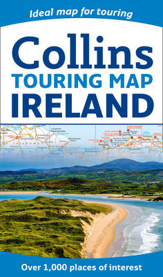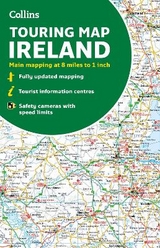
Collins Ireland Touring Map
Ideal for Exploring
Seiten
2017
|
New edition
Collins (Verlag)
978-0-00-818373-8 (ISBN)
Collins (Verlag)
978-0-00-818373-8 (ISBN)
- Titel erscheint in neuer Auflage
- Artikel merken
Zu diesem Artikel existiert eine Nachauflage
Explore new places with this authoritative map of Ireland.
Large full colour Collins map of the whole of Ireland showing the road network in detail, and with a special emphasis on places of tourist interest.
This map has a handy touring scale of 7.5 miles to 1 inch (1:475,200). It has over 20 categories of tourist information depicted on the map with clear, colourful red and yellow symbols. There is a full index to place names and places of interest.
This map includes:
• All classified and most minor roads
• Railway network and ferry routes
• Viewpoints and sandy beaches
• Speed enforcement zones and safety camera locations
• Index to 20 categories of tourist information
• Includes castles, historic houses, gardens, beaches and golf courses
Explore the world through accurate and up-to-date mapping.
| Erscheint lt. Verlag | 9.3.2017 |
|---|---|
| Verlagsort | London |
| Sprache | englisch |
| Maße | 139 x 237 mm |
| Gewicht | 140 g |
| Themenwelt | Reisen ► Karten / Stadtpläne / Atlanten ► Europa |
| Naturwissenschaften ► Geowissenschaften ► Geografie / Kartografie | |
| ISBN-10 | 0-00-818373-2 / 0008183732 |
| ISBN-13 | 978-0-00-818373-8 / 9780008183738 |
| Zustand | Neuware |
| Haben Sie eine Frage zum Produkt? |
Mehr entdecken
aus dem Bereich
aus dem Bereich
Karte (gefalzt) (2023)
Freytag-Berndt und ARTARIA (Verlag)
CHF 19,90
Straßen- und Freizeitkarte 1:250.000
Karte (gefalzt) (2023)
Freytag-Berndt und ARTARIA (Verlag)
CHF 19,90
Östersund
Karte (gefalzt) (2023)
Freytag-Berndt und ARTARIA (Verlag)
CHF 21,90


