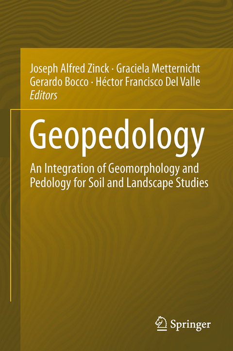
Geopedology
Springer International Publishing (Verlag)
978-3-319-19158-4 (ISBN)
- Titel erscheint in neuer Auflage
- Artikel merken
Soil is a vital resource for society at large and an important determinant of the economic status of nations. The intensification of natural disasters and the increased land use competition for food and energy have raised awareness of the relevant role the pedosphere plays in natural and anthropogenic environments. Recent papers and global initiatives show a renewed interest in soil research and its applications for improved planning and management of this fragile and finite resource.
Joseph Alfred Zinck is professor emeritus at the University of Twente, Faculty of Geo-Information Science and Earth Observation (ITC), Enschede, The Netherlands. He has previously worked in soil survey and land use planning projects.Graciela Metternicht is a Professor at the Institute of Environmental Studies, UNSW Australia. Her research interests are in the fields of environmental management and geospatial technologies.Gerardo Bocco is Senior Researcher at the Centre for Environmental Geography, in the National Autonomous University of Mexico (UNAM). He is mostly interested in landscape and natural resource management by rural communities in developing countries. He is a member of the editorial board of Geomorphology. Dr. Héctor del Valle is Senior Researcher at the Patagonian National Centre (CENPAT-CONICET), Argentina. He has more than 40 years’ experience on Landscape Ecology and Remote Sensing of Soils.
lt;p>Presentation.- Part I: Foundations.- Introduction.- Relations between Geomorphology and Pedology: Brief Review.- The Geopedologic Approach.- The Pedologic Landscape: Organisation of the Soil Material.- The Geomorphic Landscape: Criteria for Classifying Geoforms.- The Geomorphic Landscape: Classification of Geoforms.- The Geomorphic Landscape: the Attributes of the Geoforms.- Part II: Approaches to Soil-landscape Patterns Analysis.- Linking Ethnopedology and Geopedology: a Synergistic Approach.- The Diversity of sSoil-landscape Relationships: State of the Art and Future Challenges.- A New Soil-landscape Approach to the Genesis and Distribution of Typic and Vertic Argiudolls in the Rolling Pampa of Argentina.- Soil-Landform Relationships in the Arid Northern United Arab Emirates.- Knowledge is Power: Where Geopedologic Insights are Necessary for Predictive Digital Soil Mapping.- Geopedology, a Tool for Soil-Geoform Pattern Analysis.- Use of Soil Maps and Surveys to Interpret Soil-Landform Assemblages and Soil-Landscape Evolution.- Part III: Methods and Techniques.- Soil Survey Based on Landscape Classification in an Area of Semiarid Chaco Ecosystem, Argentina.- Updating of a Physiographically-Based Soil Map Using Digital Soil Mapping Techniques.- Contribution of Open Access Global SAR Mosaics to Soil Survey Programs at Regional Level: A Case Study in North-Eastern Patagonia.- Geopedology Promotes Precision and Efficiency in Soil Mapping. Photo-interpret
ation Application in the Henares River Valley, Spain.- Using Geomorphometry to Map Physiographic units in Colombia.- Geomorphometric Landscape Analysis of Agricultural Areas and Rangelands of Western Australia.- Multi-scale Application of a Hierarchic Geomorphic System in Soil Survey in Colombia.- Digital Elevation Models to Improve Soil Mapping in Mountainous Areas: Case Study in Colombia.- Landform Mapping in Somalia Using SHILMA (Somalia Hierarchical Integrated Landform Mapping Approach).- The Outcomes of Applying a Geopedologic Approach to Soil Survey in Iran.- The role of Geopedology in Mapping Soils in Thailand.-Neuro-fuzzy Classification of the Landscape for Soil Mapping in the Central Plains of Venezuela.- Part IV: Applications in Land Degradation and Geohazard Studies.- Gully Erosion Analysis. Why geopedology matters?.- Soil Susceptibility to Mass Movements: A Geopedologic Approach.- Geomorphic Landscape Approach for Mapping Soil Degradation and Hazard Prediction in Semi-arid Environments: A Case Study of the Cochabamba Valley (Bolivia).- Geopedology and Land Degradation in Northwest Argentina.- Adequacy Of Soil Information Resulting from Geopedology-based Predictive Soil Mapping for Assessing Land Degradation: Case Studies of Nam Chun, Pa Sak Valley and Nong Sung in Thailand.- Part V: Applications in Land Use Planning and Land Zoning Studies.- Implementation of a Geopedologic Map as a Basis for Delineating Ecosystem Units at National Level in Colombia.-Ecological Land Zonation Using Integrated Geopedologic and Vegetation Information. Case Study of the Cabo de Gata-Níjar Natural Park (Almería, Spain).- Soil Survey Applying the Geopedologic Approach in Argentine North Patagonia as Basic Information to Design a Forestry Plan.- Territorial Zoning Based on Geopedologic Information: Case Study in the Caroni River Basin, Venezuela.- Contribution of Geopedology to Land Use Conflict Analysis and Land Use Planning in a Peri-urban Fringe.- Applying a Geopedologic Approach for Mapping Tropical Forest Soils and Related Soil Fertility in Northern Thailand.- Synthesis and Conclusions.
"Geopedology discusses both geomorphology and pedology studies. ... Chapters contain block diagrams, tables, figures, and photographs that illustrate worldwide soils and geomorphic landscapes. The index is comprehensive. This is an excellent text and reference source for upper-division undergraduates, graduate students, teachers, researchers, and professionals involved with land-use decisions. ... Summing Up: Recommended. Upper-division undergraduates through professionals and practitioners." (S. G. Shetron, Choice, Vol. 54 (2), October, 2016)
| Erscheint lt. Verlag | 6.1.2016 |
|---|---|
| Zusatzinfo | XVIII, 556 p. 161 illus., 82 illus. in color. |
| Verlagsort | Cham |
| Sprache | englisch |
| Maße | 155 x 235 mm |
| Themenwelt | Naturwissenschaften ► Geowissenschaften ► Geologie |
| Schlagworte | Environmental Management • geomorphology • Landscape and regional planning • Remote Sensing • Soil science and conservation |
| ISBN-10 | 3-319-19158-6 / 3319191586 |
| ISBN-13 | 978-3-319-19158-4 / 9783319191584 |
| Zustand | Neuware |
| Informationen gemäß Produktsicherheitsverordnung (GPSR) | |
| Haben Sie eine Frage zum Produkt? |
aus dem Bereich


