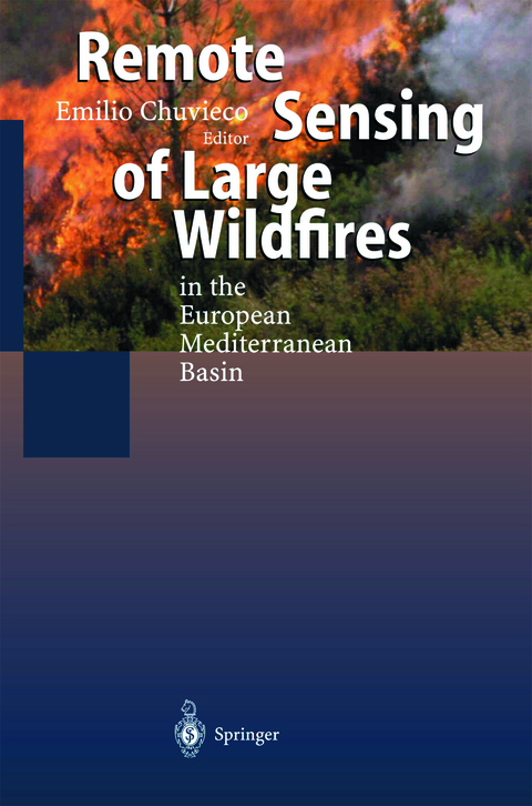
Remote Sensing of Large Wildfires
Springer Berlin (Verlag)
9783642642845 (ISBN)
1 Introduction.- 2 The role of fire In European Mediterranean ecosystems.- 2.1 Introduction.- 2.2 Fire history.- 2.3 Fire effects on soils.- 2.4 Post-fire regeneration of vegetation.- 2.5 Concluding remarks.- 3Short-term fire risk: foliage moisture content estimation from satellite data.- 3.1 The role of foliage moisture content in the short-term estimation of fire danger.- 3.2 The estimation of foliage moisture content.- 3.3 The effect of moisture content on reflectance and temperature.- 3.4 The use of low resolution data for foliage moisture estimation.- 3.5 Application of NOAA-AVHRR to FMC estimation.- 3.6 Foliage moisture assessment using high resolution data.- 4 Meteorological fire danger indices and remote sensing.- 4.1 Introduction.- 4.2 Processes and components embodied in fire danger indices.- 4.3 Meteorological fire danger indices.- 4.4 Large fire danger rating with meteorological indices in the European Mediterranean Basin.- 4.5 Satellite data and meteorological danger indices.- 5 Integrated fire risk mapping.- 5.1 Temporal and spatial scales in fire risk mapping.- 5.2 The use of GIS in fire risk assessment.- 5.3 Analysis of long-term fire risk on a European level.- 5.4 Examples of local-scale risk analysis.- 6 Fire detection and fire growth monitoring using satellite data.- 6.1 Introduction.- 6.2 Basis for fire detection from satellite data.- 6.3 General issues related to remote sensing of active fires.- 6.4 Active fire detection with NOAA-AVHRR images.- 6.5 Fire growth monitoring using AVHRR images.- 6.6 Future systems.- 6.7 Conclusions.- 7 Spectral characterisation and discrimination of burnt areas.- 7.1 Introduction.- 7.2 Spectral properties of burnt areas.- 7.3 Conclusions.- 8 Regional-scale burnt area mapping in southern Europe using NOAA-AVHRR 1km dataµ.- 8.1 Introduction µ.- 8.2 Methods for burnt land mapping.- 8.3 Mapping burnt areas in southeµrn Europe from NOAA-AVHRR data.- 8.4 Discussion and conclusions.- 9 Burnt land mapping at local scale.- 9.1 Introduction.- 9.2 Scale issues in burnt land mapping.- 9.3 Operational burnt land mapping in Mediterranean landscapes.- 9.4 Techniques for burnt land mapping.- 9.5 Discrimination of damage intensities.- 9.6 Epilogue.- References.
| Erscheint lt. Verlag | 23.8.2014 |
|---|---|
| Zusatzinfo | XII, 212 p. 52 illus., 16 illus. in color. |
| Verlagsort | Berlin |
| Sprache | englisch |
| Maße | 155 x 235 mm |
| Gewicht | 352 g |
| Themenwelt | Naturwissenschaften ► Geowissenschaften ► Geologie |
| Naturwissenschaften ► Geowissenschaften ► Geophysik | |
| Schlagworte | ecosystem • ecotoxicology • Fernerkundung • Forest • Forest fires • GIS • Landsat • Remote Sensing • Temperature • Waldbrände |
| ISBN-13 | 9783642642845 / 9783642642845 |
| Zustand | Neuware |
| Informationen gemäß Produktsicherheitsverordnung (GPSR) | |
| Haben Sie eine Frage zum Produkt? |
aus dem Bereich


