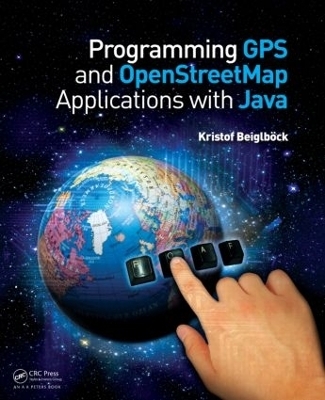
Programming GPS and OpenStreetMap Applications with Java
The RealObject Application Framework
Seiten
2012
A K Peters (Verlag)
978-1-4665-0718-0 (ISBN)
A K Peters (Verlag)
978-1-4665-0718-0 (ISBN)
Written by an expert in the development of GPS systems with digital maps and navigation, Programming GPS and OpenStreetMap Applications with Java: The RealObject Application Framework provides a concrete paradigm for object-oriented modeling and programming. It presents a thorough introduction to the use of available global positioning data for the development of applications involving digital maps.
The author first describes the different formats of GPS data and digital maps and shows how to use recorded GPS traces to replay and display this data on a digital map. Then, he works through in detail the processing steps of obtaining dedicated data from OpenStreetMaps and how to extract a network for a simple navigation application. For each topic covered—GPS data, OpenStreetMaps, and navigation—Java code is developed that can easily be adapted to the readers’ needs and locality.
Finally, all components are put together in a sample computer-game application modeled on the well-known board game, Scotland Yard. The computer game is intended to be a basis from which readers can develop and customize their own application for their desired geographical area. The developed application can be "published" on the Internet and made available for interactive multiplayer competition.
This book provides a fun and interesting way to learn distributed programming with Java and real-world data. Open-source software is available on a companion website at www.roaf.de
Kristof Beiglböck
FROM VISION TO MISSION: Software Objects and Real-World Representations. The Vision. OOA Analysis and Mission. GLOBAL POSITIONING: Space and Time. From Geography to Cartography. REALOBJECTS (ROs): Objects in Motion. Processing Digital Maps. Making Maps Navigable. Navigating Objects. ROAPPS: REALOBJECT APPLICATIONS: Separating the RO Client and the ROA Server. Client Server Architecture. Rolling out a ROApp. Mission Accomplished: Time to Play. ROAF: REAL OBJECT APPLICATION FRAMEWORK: Evolution.
| Verlagsort | Natick |
|---|---|
| Sprache | englisch |
| Maße | 191 x 235 mm |
| Gewicht | 544 g |
| Themenwelt | Informatik ► Programmiersprachen / -werkzeuge ► Java |
| Mathematik / Informatik ► Informatik ► Software Entwicklung | |
| Mathematik / Informatik ► Informatik ► Theorie / Studium | |
| Mathematik / Informatik ► Informatik ► Web / Internet | |
| Naturwissenschaften ► Geowissenschaften ► Geografie / Kartografie | |
| ISBN-10 | 1-4665-0718-7 / 1466507187 |
| ISBN-13 | 978-1-4665-0718-0 / 9781466507180 |
| Zustand | Neuware |
| Haben Sie eine Frage zum Produkt? |
Mehr entdecken
aus dem Bereich
aus dem Bereich
mit über 150 Workouts in Java und Python
Buch (2023)
Carl Hanser (Verlag)
CHF 41,95
Einführung, Ausbildung, Praxis
Buch | Hardcover (2023)
Rheinwerk (Verlag)
CHF 69,85


