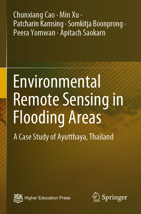
Environmental Remote Sensing in Flooding Areas
Springer Verlag, Singapore
978-981-15-8204-2 (ISBN)
Chunxiang Cao is a Professor of the University of Chinese Academy of Science and Institute of Remote Sensing and Digital Earth of Chinese Academy of Sciences. She is now the Director of the division of environmental health remote sensing of State Key Laboratory and the Executive Director of the center of spatial information technologies application research in public health. She has been engaged in remote sensing and environmental health research areas for 20 years. Her research interests are remote sensing technology in assessment of five elements of the ecosystem, namely forest, agriculture, water, atmosphere and the human living environment. She established the inter-discipline research direction of “Diagnosis of Environmental Health by Remote Sensing” together with peer colleagues from Boston University, Tokyo University and Kyoto University.
Geographical characteristics of Study area.- Datasets and data preparation.- Flooding identification by vegetation index.- Flood identification by Support Vector Machine (SVM).- Improved support vector machine classifier by Particle filter algorithm.- Flood related parameters affecting waterborne diseases.- Measure of Disease Risk.- Modeling Outbreak Risk based on Back Propagation Neural Network (BPNN) algorithm.- Application of surveillance communicable diseases risk using Expert system.- Conclusions.
| Erscheinungsdatum | 17.12.2021 |
|---|---|
| Zusatzinfo | 38 Illustrations, color; 17 Illustrations, black and white; XI, 148 p. 55 illus., 38 illus. in color. |
| Verlagsort | Singapore |
| Sprache | englisch |
| Maße | 155 x 235 mm |
| Themenwelt | Medizin / Pharmazie ► Medizinische Fachgebiete ► Arbeits- / Sozial- / Umweltmedizin |
| Studium ► Querschnittsbereiche ► Klinische Umweltmedizin | |
| Naturwissenschaften ► Geowissenschaften ► Geografie / Kartografie | |
| Technik ► Umwelttechnik / Biotechnologie | |
| Schlagworte | Epidemic Disease • Flood Assessment • geographical information system • Remote Sensing • Remote Sensing/Photogrammetry • Spatial Information Technology |
| ISBN-10 | 981-15-8204-1 / 9811582041 |
| ISBN-13 | 978-981-15-8204-2 / 9789811582042 |
| Zustand | Neuware |
| Haben Sie eine Frage zum Produkt? |
aus dem Bereich


