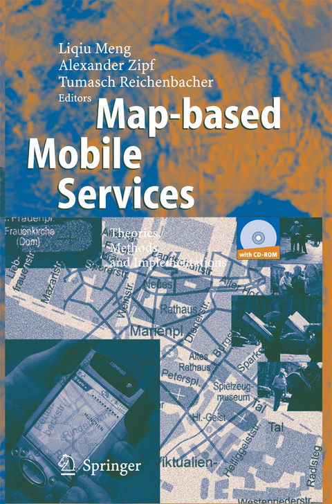
Map-based Mobile Services
Springer Berlin (Verlag)
978-3-642-44141-7 (ISBN)
Prof. Dr. Alexander Zipf ist Dozent im Fachbereich Geoinformatik und Vermessung der FH Mainz.
Map-based mobile services.- Portrayal and Generalisation of Point Maps for Mobile Information Services.- Activity and Context - A Conceptual Framework for Mobile Geoservices.- Effectiveness and efficiency of tourism maps in the World Wide Web and their potential for mobile map services.- The Cognitive Reality of Schematic Maps.- Adaptive Visualisation of Landmarks using an MRDB.- Ego centres of mobile users and egocentric map design.- Adaptation to Context - A Way to Improve the Usability of Mobile Maps.- Focalizing Measures of Salience for Wayfinding.- Adaptive egocentric maps for mobile users.- Cartographic Location Based Services.- XML in Service Architectures for Mobile Cartographic Applications.- A Survey of Map-based Mobile Guides.- Position Determination of Reference Points in Surveying.- Dynamic 3D Maps for Mobile Tourism Applications.- Designing electronic maps: an ethnographic approach.
From the reviews:
"This book contains sixteen co-authored chapters ... . The chapters provide a contemporary overview of the research agenda related to the design and use of maps associated with mobile devices and mobility-supporting initiatives. The book is written for a broad audience. ... Overall this reviewer enjoyed reading the book, and recommends that it be placed on the reading list of any advanced cartography/geovisualization course exploring theoretical and applied research agendas." (Peter Keller, Geomatica, Vol. 59 (3), 2005)
From the reviews:"This book contains sixteen co-authored chapters … . The chapters provide a contemporary overview of the research agenda related to the design and use of maps associated with mobile devices and mobility-supporting initiatives. The book is written for a broad audience. … Overall this reviewer enjoyed reading the book, and recommends that it be placed on the reading list of any advanced cartography/geovisualization course exploring theoretical and applied research agendas." (Peter Keller, Geomatica, Vol. 59 (3), 2005)
| Erscheint lt. Verlag | 14.11.2014 |
|---|---|
| Zusatzinfo | XII, 260 p. |
| Verlagsort | Berlin |
| Sprache | englisch |
| Maße | 155 x 235 mm |
| Gewicht | 421 g |
| Themenwelt | Mathematik / Informatik ► Informatik ► Grafik / Design |
| Informatik ► Software Entwicklung ► User Interfaces (HCI) | |
| Mathematik / Informatik ► Informatik ► Web / Internet | |
| Naturwissenschaften ► Geowissenschaften ► Geografie / Kartografie | |
| Naturwissenschaften ► Geowissenschaften ► Geologie | |
| Naturwissenschaften ► Geowissenschaften ► Geophysik | |
| Schlagworte | 3D • Cartography • Geoinformation • Geovisualisation • map • Map Design • Mobile Geoservices • user interface • Visualization • World Wide Web |
| ISBN-10 | 3-642-44141-6 / 3642441416 |
| ISBN-13 | 978-3-642-44141-7 / 9783642441417 |
| Zustand | Neuware |
| Haben Sie eine Frage zum Produkt? |
aus dem Bereich


