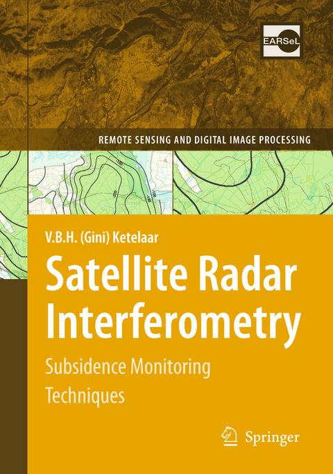
Satellite Radar Interferometry
Subsidence Monitoring Techniques
Seiten
2010
|
Softcover reprint of hardcover 1st ed. 2009
Springer (Verlag)
978-90-481-8125-4 (ISBN)
Springer (Verlag)
978-90-481-8125-4 (ISBN)
This book investigates the applicability of satellite radar interferometry (InSAR) for deformation monitoring. The presented methodologies are demonstrated in an integrated way for the entire northern part of the Netherlands and a part of Germany.
Since the start of hydrocarbon production in the Netherlands, measurement c- paigns have been performed to measure the resulting subsidence, to which gas and oil companies in the Netherlands are legally obliged. The majority of the gas elds in the Netherlands, including the Groningen gas eld, are operated by Nederlandse Aardolie Maatschappij B.V. (NAM). Different subsidence measurement techniques (leveling, GPS) have been utilized since the 1960s. Synchronously, geodetic esti- tion methodologies have been developed to estimate subsidence due to hydrocarbon production from the measurements, in which the Delft Institute of Earth Obser- tionandSpaceSystems(DEOS)hasbeencloselyinvolved.Sincethe1990s,satellite radar interferometry (InSAR) as a deformation monitoring technique has developed. However, the situation in the Groningen area is challenging (temporal decorrelation, rural areas, atmospheric disturbances, small deformation rates-several mm/year- over a large spatial extent).
In 2003, the project 'Fundamenteel Onderzoek Radar - terferometrie' was approved (Regeling Technologische Samenwerking), which - abled a four year PhD research to investigate the feasibility of InSAR for monitoring subsidence due to hydrocarbon production, in cooperation between Delft University of Technology and NAM. This book describes the results of this scienti c research, that is directly coupled to the practical demand for subsidence monitoring te- niques. It covers the topic in a generic way: both precision and reliability of InSAR as a measurement technique and the estimation of earth surface deformation in the presence of multiple deformation causes are addressed.
Subsidence Due to Hydrocarbon Production in the Netherlands.- Persistent Scatterer InSAR.- Quality Control.- Multi-track PSI.- PSI Subsidence Monitoring in Groningen.- Cross-Validation and Operational Implementation.- Discussion and Future Subsidence Monitoring.- Conclusions and Recommendations.
| Reihe/Serie | Remote Sensing and Digital Image Processing ; 14 |
|---|---|
| Zusatzinfo | 46 Illustrations, color; 93 Illustrations, black and white; XVI, 244 p. 139 illus., 46 illus. in color. |
| Verlagsort | Dordrecht |
| Sprache | englisch |
| Maße | 155 x 235 mm |
| Themenwelt | Mathematik / Informatik ► Informatik |
| Naturwissenschaften ► Geowissenschaften ► Geografie / Kartografie | |
| Naturwissenschaften ► Geowissenschaften ► Geologie | |
| Naturwissenschaften ► Geowissenschaften ► Geophysik | |
| Technik ► Elektrotechnik / Energietechnik | |
| ISBN-10 | 90-481-8125-9 / 9048181259 |
| ISBN-13 | 978-90-481-8125-4 / 9789048181254 |
| Zustand | Neuware |
| Haben Sie eine Frage zum Produkt? |
Mehr entdecken
aus dem Bereich
aus dem Bereich
über eine faszinierende Welt zwischen Wasser und Land und warum sie …
Buch | Hardcover (2023)
dtv (Verlag)
CHF 33,55
Buch | Hardcover (2024)
Schweizerbart'sche, E. (Verlag)
CHF 33,55
Eine Einführung in die spezielle Mineralogie, Petrologie und …
Buch | Hardcover (2022)
Springer Spektrum (Verlag)
CHF 83,95


