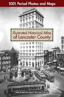
Illustrated Historical Atlas of Lancaster County
1001 Period Photos and Maps
Seiten
2020
Fox Chapel Publishing (Verlag)
978-1-4971-0066-4 (ISBN)
Fox Chapel Publishing (Verlag)
978-1-4971-0066-4 (ISBN)
- Titel z.Zt. nicht lieferbar
- Versandkostenfrei
- Auch auf Rechnung
- Artikel merken
Lovers of Lancaster and maven map collectors will be delighted to own this beautiful atlas that offers a vivid and rare picture of life in historic Lancaster County, Pennsylvania. More than just a large format, full-color reproduction of the original 1899 maps, Illustrated Historical Atlas of Lancaster County takes you on a complete tour of the county — township-by-township, borough-by-borough — from Elizabethtown to Little Britain, from Columbia to Terre Hill. Spanning over three centuries, this book contains hundreds of maps and archival photos from local historical societies and private collections to provide a glimpse into the people, homes, places of worship, amusements, businesses, and more of the area throughout the 1900s. Go back in time and see the land you love from a whole new perspective!
| Erscheinungsdatum | 14.10.2020 |
|---|---|
| Verlagsort | East Petersberg |
| Sprache | englisch |
| Maße | 305 x 432 mm |
| Themenwelt | Reisen ► Karten / Stadtpläne / Atlanten ► Welt / Arktis / Antarktis |
| Geisteswissenschaften ► Geschichte ► Hilfswissenschaften | |
| Naturwissenschaften ► Geowissenschaften ► Geografie / Kartografie | |
| ISBN-10 | 1-4971-0066-6 / 1497100666 |
| ISBN-13 | 978-1-4971-0066-4 / 9781497100664 |
| Zustand | Neuware |
| Informationen gemäß Produktsicherheitsverordnung (GPSR) | |
| Haben Sie eine Frage zum Produkt? |
Mehr entdecken
aus dem Bereich
aus dem Bereich
mit Fakten und Infos zu allen Kontinenten
Buch | Hardcover (2024)
Kosmos Kartografie in der Franckh-Kosmos Verlags-GmbH & Co. …
CHF 35,90
ikonische Designs von Berlin bis Tokio
Buch | Hardcover (2024)
Prestel (Verlag)
CHF 58,75


