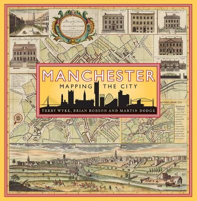
Manchester: Mapping the City
Seiten
2018
Birlinn Ltd (Verlag)
978-1-78027-530-7 (ISBN)
Birlinn Ltd (Verlag)
978-1-78027-530-7 (ISBN)
Manchester is one the world's most iconic cities. Not only was it the first industrial city, it can claim to be the first post-industrial city. This book uses historic maps and unpublished and original plans to chart the dramatic growth and transformation of Manchester.
Manchester is one the world’s most iconic cities. Not only was it the first industrial city, it can claim to be the first post-industrial city. This book uses historic maps and unpublished and original plans to chart the dramatic growth and transformation of Manchester as it grew rich on its cotton trade from the late 18th century, experienced periods of boom and bust through the Victorian period, and began its post-industrial transformation in the 20th century.
The Peterloo Massacre, the Bridgewater Canal, the railway revolution, Trafford Park industrial estate, the Ship Canal, Belle Vue theme park, Wythenshawe garden city, the 1996 IRA bomb, Coronation Street, iconic football stadiums, and MediaCity are just some of the events and places that have put Manchester on the world’s perceptual map and are explored through a wealth of published and unpublished maps and plans in this sumptuously illustrated cartographic history.
Terry Wyke is Research Fellow at Manchester Metropolitan University. He was one of the founder editors of the Manchester Region History Review and has written extensively on aspects of the history of the Manchester region. Brian Robson was Emeritus Professor at Manchester University. In 1983 he founded the Centre for Urban Policy Studies and published six books and well over 100 articles. After retiring he pursued a long-held interest in historic urban cartography. He died in June 2020. Martin Dodge is Senior Lecturer in Geography at Manchester University. Much of his current research focuses on Manchester and he has co-curated several high-profile public exhibitions about the city.
| Erscheinungsdatum | 01.10.2018 |
|---|---|
| Zusatzinfo | Illustrations, color; Maps |
| Verlagsort | Edinburgh |
| Sprache | englisch |
| Maße | 255 x 255 mm |
| Gewicht | 1701 g |
| Themenwelt | Geisteswissenschaften ► Geschichte ► Hilfswissenschaften |
| Geschichte ► Teilgebiete der Geschichte ► Kulturgeschichte | |
| Naturwissenschaften ► Geowissenschaften ► Geografie / Kartografie | |
| ISBN-10 | 1-78027-530-7 / 1780275307 |
| ISBN-13 | 978-1-78027-530-7 / 9781780275307 |
| Zustand | Neuware |
| Haben Sie eine Frage zum Produkt? |
Mehr entdecken
aus dem Bereich
aus dem Bereich
der stille Abschied vom bäuerlichen Leben in Deutschland
Buch | Hardcover (2023)
C.H.Beck (Verlag)
CHF 32,15
vom Mittelalter bis zur Gegenwart
Buch | Softcover (2024)
C.H.Beck (Verlag)
CHF 16,80


