GPS Navigation for Dummies
Hungry Minds Inc,U.S. (Verlag)
978-0-7645-6933-3 (ISBN)
- Titel erscheint in neuer Auflage
- Artikel merken
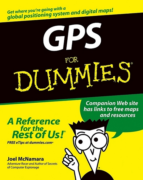
"GPS For Dummies" gives new meaning to finding yourself. In fact, with a GPS (global positioning system) receiver, you can determine precisely where you are anywhere on this planet. If you're are planning on buying a GPS receiver or if you have one and want to get your money's worth, this guide tells you what you need to know, including: basic GPS principles and concepts such as waypoints, routes, tracks, and coordinate systems; recommended features for GPS receivers to be used in various types of activities, including hiking, mountain biking, cross country skiing, geocaching, hunting, ATVing, mapping, and more; how to do digital mapping on your computer, including software packages you can use to work with aerial photos, topographic maps, and road maps; the main providers of digital map data for the U.S. and their Web sites; and the scoop on geocaching a high tech treasure hunt.Written by Joel McNamara, avid outdoorsman, adventure racer, search and rescue team member, and author of "Secrets of Computer Espionage", "GPS for Dummies" is ideal for both ordinary travelers and exotic explorers.
It covers a world of GPS info such as: choosing features for a GPS receiver, including the screen, an alarm, built in maps, an electric compass, an altimeter, antennas, interface modes, and more; systems for traveling on the main roads and systems for exploring off the beaten path; using GPS with a PDA (personal digital assistant); computer requirements for different mapping choices; topographic map software from Maptech, DeLorme, and National Geographic that's for off road use; using Web hosted mapping services, including street maps, topographic maps, aerial photos, and U.S. government produced maps; and incorporating GPS receivers into outdoor workouts, with tips for specific sports including cycling, golf, rowing, and more.A companion Web site has links to all kinds of free maps and resources. So explore on your computer and then explore for real! With "GPS for Dummies", you'll find yourself having adventures!
Joel McNamara first got involved with digital maps in the early 1980's. At the time he was studying archeology and instead of going out and playing Indiana Jones, he found himself in front of a computer monitor trying to predict where archeological sites were located based on LANDSAT satellite data. The lure of computers ultimately led to his defection from academia to the software industry, where he worked as a programmer, technical writer, and manager; eventually ending up at a rather large software company based in Redmond, Washington. Joel now writes and consults on technology he finds interesting, such as GPS and digital maps. Over the years he's had practical experience using GPS and maps for wildland firefighting, search and rescue, and disaster response and planning. He's also an avid user of the great outdoors (which means there's way too much gear in his garage), competes in adventure races and other endurance sports, and so far has always found his way back home. In his spare time he volunteers for a federal Disaster Medical Assistance Team. This is his second book. The first was Secrets of Computer Espionage: Tactics & Countermeasures (also published by Wiley), a reference guide for computer security practitioners and anyone interested in stopping sneaky spies.
Introduction.Part I: All About Digital Maps.Chapter 1: Getting Started with Digital Maps.Chapter 2: Dissecting Maps.Part II: All About GPS.Chapter 3: GPS Fundamentals.Chapter 4: Grasping Important GPS Concepts.Chapter 5: Selecting and Getting Started with a GPS Receiver.Chapter 6: Using GPS with a PDA.Chapter 7: Geocaching.Part III: Digital Mapping on Your Computer.Chapter 8: Digital Mapping Hardware Considerations.Chapter 9: Interfacing a GPS Receiver to a Computer.Chapter 10: Using GPS Manufacturer Mapping Software.Chapter 11: Finding Places and Coordinates.Chapter 12: On the Road with DeLorme Street Atlas USA.Chapter 13: On the Ground with Maptech Terrain Navigator.Chapter 14: From the Air with USAPhotoMaps.Chapter 15: Creating and Using Digital Maps with OziExplorer.Chapter 16: Going Three Dimensional with 3DEM.Part IV: Using Web-hosted Mapping Services.Chapter 17: Saving and Editing Street Maps.Chapter 18: Navigating Web Road Maps.Chapter 19: Exploring Web Topographic Maps.1Chapter 20: Overhead Image Web Sites.Part V: The Part of Tens.Chapter 21: Ten Great GPS and Map Web Sites.Chapter 22: Ten Map Printing Tips.Chapter 23: Ten Tips for Athletes.Index.
| Erscheint lt. Verlag | 4.6.2004 |
|---|---|
| Zusatzinfo | Illustrations, maps |
| Verlagsort | Foster City |
| Sprache | englisch |
| Maße | 185 x 233 mm |
| Gewicht | 624 g |
| Einbandart | Paperback |
| Themenwelt | Sachbuch/Ratgeber ► Natur / Technik |
| Sachbuch/Ratgeber ► Sport ► Segeln / Tauchen / Wassersport | |
| Technik ► Fahrzeugbau / Schiffbau | |
| ISBN-10 | 0-7645-6933-3 / 0764569333 |
| ISBN-13 | 978-0-7645-6933-3 / 9780764569333 |
| Zustand | Neuware |
| Haben Sie eine Frage zum Produkt? |
aus dem Bereich


