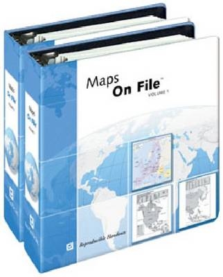
A loose-leaf collection of approximately 500 maps that cover every country, every US state and Canadian province, all oceans and continents, as well as important economic and political issues in the news.
Maps On File[registered], 2009 Edition is a loose-leaf collection of approximately 500 up-to-date maps - plus a comprehensive index - designed explicitly for photocopying by students, teachers, or anyone who needs a clear, completely current map of any area of the world. The maps cover every country, every U.S. state and Canadian province, all oceans and continents, as well as important economic and political issues in the news.
Maps On File[registered], 2009 Edition is a loose-leaf collection of approximately 500 up-to-date maps - plus a comprehensive index - designed explicitly for photocopying by students, teachers, or anyone who needs a clear, completely current map of any area of the world. The maps cover every country, every U.S. state and Canadian province, all oceans and continents, as well as important economic and political issues in the news.
| Erscheint lt. Verlag | 28.2.2009 |
|---|---|
| Zusatzinfo | black-&-white maps, index |
| Verlagsort | New York |
| Sprache | englisch |
| Gewicht | 633 g |
| Themenwelt | Reisen ► Karten / Stadtpläne / Atlanten ► Welt / Arktis / Antarktis |
| Schulbuch / Wörterbuch | |
| ISBN-10 | 0-8160-7786-X / 081607786X |
| ISBN-13 | 978-0-8160-7786-1 / 9780816077861 |
| Zustand | Neuware |
| Haben Sie eine Frage zum Produkt? |
