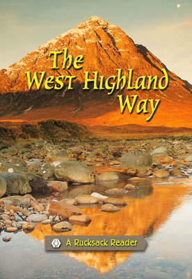
The West Highland Way
Seiten
2000
Rucksack Readers (Verlag)
978-1-898481-09-6 (ISBN)
Rucksack Readers (Verlag)
978-1-898481-09-6 (ISBN)
- Titel ist leider vergriffen;
keine Neuauflage - Artikel merken
The West Highland Way begins on the outskirts of Glasgow, Scotland's largest city, then goes through Scotland's first national park, along the shores of Loch Lomond, ending in Fort William, at the foot of Ben Nevis. The guide contains route maps, detailed directions and background information.
The West Highland Way is the first and most famous of Scotland's long-distance walks. It begins on the outskirts of Glasgow, Scotland's largest city, then goes through Scotland's first national park, along the shores of its largest loch. Loch Lomond forms a water-bridge spanning the lowlands and the highlands, with unique geology and wildlife. After 95 miles of superb scenery, the Way ends in Fort William, at the foot of Ben Nevis, Britain's highest mountain. This guide contains a full colour fold-down map showing the whole route, with summaries of distance, terrain and where to find food and drink. Offering a concise background on the walk and the local wildlife, it also has information about side-trips and mountains including Ben Lomond and Ben Nevis. There is planning information for travel by car, train, bus or plane and a special section of notes for novices and checklists of equipment.
The West Highland Way is the first and most famous of Scotland's long-distance walks. It begins on the outskirts of Glasgow, Scotland's largest city, then goes through Scotland's first national park, along the shores of its largest loch. Loch Lomond forms a water-bridge spanning the lowlands and the highlands, with unique geology and wildlife. After 95 miles of superb scenery, the Way ends in Fort William, at the foot of Ben Nevis, Britain's highest mountain. This guide contains a full colour fold-down map showing the whole route, with summaries of distance, terrain and where to find food and drink. Offering a concise background on the walk and the local wildlife, it also has information about side-trips and mountains including Ben Lomond and Ben Nevis. There is planning information for travel by car, train, bus or plane and a special section of notes for novices and checklists of equipment.
| Erscheint lt. Verlag | 7.7.2000 |
|---|---|
| Zusatzinfo | 50 colour photographs |
| Verlagsort | Dunblane |
| Sprache | englisch |
| Maße | 145 x 210 mm |
| Themenwelt | Sachbuch/Ratgeber ► Sport |
| Reiseführer ► Europa ► Großbritannien | |
| Reiseführer ► Europa ► Schottland | |
| ISBN-10 | 1-898481-09-1 / 1898481091 |
| ISBN-13 | 978-1-898481-09-6 / 9781898481096 |
| Zustand | Neuware |
| Haben Sie eine Frage zum Produkt? |
Mehr entdecken
aus dem Bereich
aus dem Bereich
individuell reisen mit vielen praktischen Tipps
Buch | Softcover (2024)
Michael Müller (Verlag)
CHF 43,90
Reiseführer mit Stadtplan, 4 Spaziergängen und kostenloser Web-App
Buch | Softcover (2023)
Reise Know-How (Verlag)
CHF 22,90


