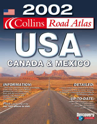
2002 Collins Road Atlas USA, Canada and Mexico
Seiten
2001
|
Revised edition
Collins (Verlag)
978-0-00-711996-7 (ISBN)
Collins (Verlag)
978-0-00-711996-7 (ISBN)
- Titel erscheint in neuer Auflage
- Artikel merken
Zu diesem Artikel existiert eine Nachauflage
Collins edition of American Map Corporation’s successful Road Atlas USA, Canada and Mexico. Fully up-to-date for 2002 with state by state road map coverage, city maps and Discovery Channel sidetrips. Scale varies with state coverage.
AREA OF COVERAGE
All of North America – United States, Canada, Mexico. From Alaska to the Gulf of Mexico, and from California to New York. Also includes Hawaii and Puerto Rico.
MAIN FEATURES
Fully up-to-date road mapping,tourist information. State-by-state mapping. U S National Parks maps. City and urban area maps. Discovery Channel suggested sidetrips to places to visit and unusual destinations.
INCLUDES
Fully classified road network, state-by-state indexes to place names, road signs, route planning map and State Fairs calendar.
WHO THE PRODUCT IS AIMED AT
Armchair traveller and anyone planning a trip to North America.
OTHER PRODUCTS IN THE SERIES
Collins Road Atlas Britain
Collins Road Atlas Europe
Collins Road Atlas France
Collins Road Atlas Italy
Collins Road Atlas Spain & Portugal
| Erscheint lt. Verlag | 1.10.2001 |
|---|---|
| Verlagsort | London |
| Sprache | englisch |
| Maße | 280 x 380 mm |
| Gewicht | 707 g |
| Themenwelt | Reisen ► Karten / Stadtpläne / Atlanten ► Nord- / Mittelamerika |
| ISBN-10 | 0-00-711996-8 / 0007119968 |
| ISBN-13 | 978-0-00-711996-7 / 9780007119967 |
| Zustand | Neuware |
| Haben Sie eine Frage zum Produkt? |
