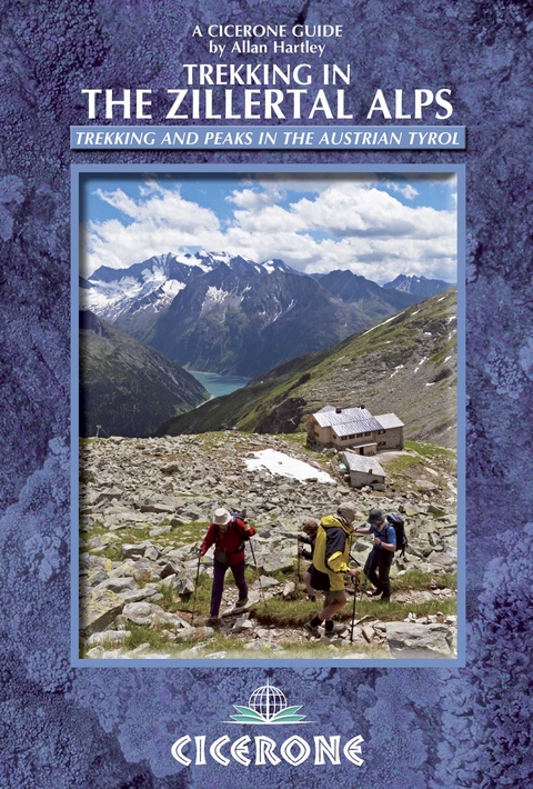
Trekking in the Zillertal Alps
Cicerone Press (Verlag)
978-1-85284-717-3 (ISBN)
- Titel ist leider vergriffen;
keine Neuauflage - Artikel merken
This guidebook describes two popular hut-to-hut treks in Austria's Zillertal Alps. Both take eight to ten days to complete, with the option to add in day excursions from the huts to climb local peaks on both sides of the border, including the Zillertal's highest summit, the Hochfeiler.
The Zillertal Rucksack Route, or Berliner Hoehen Weg, links eight huts without crossing glaciers or difficult passes. It starts above Mayrhofen and follows a circular route ending high above the charming village of Ginzling. The length of this tour is 70-80km, depending on your exact start and finish points, and ascends some 6700m.
The Zillertal South Tyrol Tour traverses the whole range along the Austro-Italian border, starting at Turistenraste then linking back to the Rucksack Route to make a circular tour. Overall it is about 55km long and ascends just over 5000m (not including any additional peaks.) It is a physically demanding trek, providing an excellent challenge to more experienced alpine walkers who wish to undertake a tour that is remote and challenging.
Allan Hartley has maintained his close links with Austria, which he discovered by accident in the early 1970s in respite from some atrocious weather conditions on the higher mountains of the western Alps. He has climbed extensively throughout the Alps and in east Africa and the greater ranges in Nepal and Pakistan.
Introduction
When to go
Getting there and back
Accommodation
The Zillertal valley
Mayrhofen
Taking children
Health and fitness
Emergencies and mountain safety
The Austrian Alpine Club
About huts
Maps and guidebooks
Alpine walking skills
Mountain guides
What to take
Using this guide
Zillertal Rucksack Route Hoehenweg
Zillertal South Tyrol Tour
Hut Directory
Appendix A Route summary tables
Appendix B Useful contacts
Appendix C German-English glossary
Appendix D Further reading
| Erscheint lt. Verlag | 8.3.2013 |
|---|---|
| Reihe/Serie | Cicerone guidebooks |
| Zusatzinfo | 85 colour photos and 25 maps and profiles |
| Verlagsort | Kendal |
| Sprache | englisch |
| Maße | 116 x 172 mm |
| Gewicht | 270 g |
| Themenwelt | Sachbuch/Ratgeber ► Sport |
| Reiseführer ► Europa ► Österreich | |
| Reisen ► Sport- / Aktivreisen ► Europa | |
| ISBN-10 | 1-85284-717-4 / 1852847174 |
| ISBN-13 | 978-1-85284-717-3 / 9781852847173 |
| Zustand | Neuware |
| Haben Sie eine Frage zum Produkt? |
aus dem Bereich


