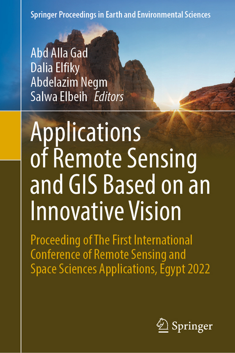
Applications of Remote Sensing and GIS Based on an Innovative Vision
Springer International Publishing (Verlag)
978-3-031-40446-7 (ISBN)
Prof. Abd-Alla Gad is a senior professor, Environmental Studies and Land Use Division, National Authority for Remote Sensing and Space Sciences, SUDSOE-FP7-EU project coordinator with the following history, experience, and expertise. He got his Ph.D. from Faculty of Sciences, State University of Ghent, Belgium, Ph.D. in Soil Sciences, Using Remote Sensing Techniques, with the degree of "Greatest distinction", October 1988. Then joined post-doctoral studies in the Remote Sensing Technology International Center (RESTIC) in Tokyo, Japan, in 1994 and peace fellowship holder for post-doctoral studies in the State University of South Dakota, 1995. He is a holder of the state prize in advanced technical Studies Agricultural Sciences in Egypt. National expert in the Egyptian Environmental Affairs Agency (EEAA), Ministry of Cabinet Affairs, 1995-2002. Prof. Gad is deeply involved in environmental impact assessments in Egypt and in the Arab world. He is a regional coordinator for a number of EU funded projects (AVICENE, CAMELEO, LANDWATERMED, MEDCOASTLAND, MEDAQUA1, MEDAQWA2, MELIA EU-INCO Project, and FP4BATIW-FP7) and a member of the International working group linking MIRA and Horizon 2020 projects activities (2009-2012), a coordinator of the ERAWIDE EU-FP7 project "Characterization and Sustainable Use of Egyptian Degraded Soils - SUDSOE", January 2012-December 31, 2014. Additionally, he was principal investigator of several National funded projects in the field of soil, water use and environmental sciences and project evaluator for the Marie Curie programs. Moreover, Prof. Gad is a member of EU-Egypt Cooperation Comity for Science and Technology since 2008, a member of a number of international scientific events around the world, and has published 145 articles in different International and National Journals and bulletins. On the other hand, he was instructor of "Environmental Impact Assessment on Land use/Land Cover Using Remote Sensing and GIS" (Northwestern Coast of Egypt), Training course on: The role of remote Sensing and Space Technologies in EIA, Organized by UNESCO, EGSMA, NARSS, UNDF, and the British Council, Cairo. Also, he was a trainer in the training, program director of "GIS project Management" and "Air Pollution", Projacs International for Project Analysis & Control System Co. Furthermore, he is an editorial board member and reviewer of different international Journals and associate editor of the Egyptian Journal of Remote Sensing and Space Sciences.
Dalia Elfiky is associated professor, supervisor of the Structure, Thermal Control and Space Environment Department, Space Science Division, National Authority of Remote Sensing and Space science. She has been a NARSS member since 2001. Dalia completed her Ph.D. at the Faculty of Science Ain Shams University. She was a Ph.D. research student at Toyota technological Institute, Nagoya, Japan, from 2009-2011. Her research interests lie in the area of space environment effects on satellite components ranging from simulation models to experimental testing. In recent years, she has focused on the development of space materials and components to withstand space environment hazards.
Prof. Abdelazim Negm is a professor of hydraulics (and water resources) at the Faculty of Engineering, Zagazig University, Egypt, since 2004. He got his Ph.D. in 1992 from Zagazig University (ZU), and his M.Sc. from Ain shams University in the year 1990. He was the vice dean of the Faculty of Engineering of ZU from 12/2008 to 12/2011 and was the head of the Environmental Engineering Department at Egypt-Japan University of Science and Technology (E-JUST), Egypt, from October 2013 to March 2016. He participated in several international projects from 2006 until now and was the principal investigator for two international projects. and led other international projects. He published more than 400 papers in national and international journals and conference
Development of Reconfigurable Low-Power Measuring IoT Device for Detecting Common Radioactive Elements for Earth and Space Applications.- RECO-FSCA: Reconfigurable Low-Power Implementation of Fprime-Software for CubeSats Applications.- Autonomous Payload Imaging System for Remote Sensing Applications.- Plasma Space Debris Removal System - NIRCSAT-X.- Heat Energy Storage Module for Thermal Management of Small Satellites In Low Earth Orbit Thermal Conditions.
| Erscheinungsdatum | 04.11.2023 |
|---|---|
| Reihe/Serie | Springer Proceedings in Earth and Environmental Sciences |
| Zusatzinfo | XIV, 441 p. 168 illus., 157 illus. in color. |
| Verlagsort | Cham |
| Sprache | englisch |
| Maße | 155 x 235 mm |
| Gewicht | 883 g |
| Themenwelt | Mathematik / Informatik ► Informatik |
| Naturwissenschaften ► Biologie ► Ökologie / Naturschutz | |
| Naturwissenschaften ► Geowissenschaften ► Geografie / Kartografie | |
| Naturwissenschaften ► Geowissenschaften ► Geologie | |
| Schlagworte | Earth observation • Environmental Management • GIS • internet of things • Remote Sensing • Space Sciences |
| ISBN-10 | 3-031-40446-7 / 3031404467 |
| ISBN-13 | 978-3-031-40446-7 / 9783031404467 |
| Zustand | Neuware |
| Haben Sie eine Frage zum Produkt? |
aus dem Bereich


