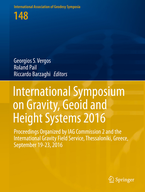
International Symposium on Gravity, Geoid and Height Systems 2016
Springer International Publishing (Verlag)
978-3-319-95317-5 (ISBN)
Jeffrey T. Freymueller, Series Editor Laura Sánchez, Series Assistant Editor
Part 1 Global gravity field modelling.- Rigorous evaluation of gravity field functionals from satellite-only gravitational models within topography.- Application of the Recursive Least-Squares adaptive filter on simulated satellite gravity gradiometry data.- Part 2 Local/regional geoid determination methods and models.- Accuracy of regional geoid modelling with GOCE.- The effect of noise on geoid height in Stokes-Helmert method.- Approximation of local quasi-geoid using point mass method based on Bjerhammar theory.- Optimal combination of satellite and terrestrial gravity data for regional geoid determination using Stokes-Helmert's method, the Auvergne test case.- New modifications of Stokes' Integral.- Gravimetric investigations at Vernagtferner.- Analysis of the GRAV-D airborne gravity data for geoid modelling.- The African 300"x300" DTM and its validation.- Evaluation of the African Gravity Database AFRGDB V1.0.- Part 3 Absolute and relative gravity: observations and methods.- New absolute gravity measurements in New Zealand.- Strapdown airborne gravimetry using a combination of commercial software and stable-platform gravity estimates.- First six months of superconducting gravimetry in Argentina.- Tilt susceptibility of the Scintrex CG-5 Autograv gravity meter revisited.- Gravity calibration baseline between Jeddah and Taif in the Kingdom of Saudi Arabia.- Part 4 Height systems and vertical datum unification.- Investigation of geoid height variations and vertical displacements of the Earth surface in the context of the realization of a modern vertical reference system - A case study for Poland.- Analysis of GOCE omission error and its contribution to vertical datum offsets in Greece and its Islands.- Quality control of height benchmarks in Attica, Greece, combining GOCE/GRACE satellite data, global geopotential models and detailed terrain information.- GOCE variance and covariance contribution to height system unification.- The use of GNSS/levelling and gravitydata for the Spanish height system unification.- Comparison of different approaches to gravity determination and their utilization for calculation of geopotential numbers in the Slovak national levelling network.- Assessment of the Greek Vertical Datum - A case study in central Greece.- Evaluation of NRTK-based heighting techniques from different continuously operating GNSS reference networks in Greece.- Part 5 Satellite altimetry and climate-relevant processes.- SLA determination in coastal areas using Least-Squares Collocation and Cryosat-2 data.- Spectral analysis and validation of Multiple Input / Multiple Output DOT estimation in the Eastern Mediterranean Sea.- Preliminary Results on the Estimation of Ground Water in Africa using GRACE and Hydrological Models.
| Erscheinungsdatum | 11.01.2019 |
|---|---|
| Reihe/Serie | International Association of Geodesy Symposia |
| Zusatzinfo | IX, 230 p. |
| Verlagsort | Cham |
| Sprache | englisch |
| Maße | 210 x 279 mm |
| Gewicht | 907 g |
| Themenwelt | Naturwissenschaften ► Geowissenschaften ► Geografie / Kartografie |
| Naturwissenschaften ► Geowissenschaften ► Geologie | |
| Naturwissenschaften ► Geowissenschaften ► Geophysik | |
| Schlagworte | Altimetry • Geoid determination • Gravity Field Modeling • Reference Frames and Height Systems • Remote Sensing/Photogrammetry • Satellite Gravity Missions |
| ISBN-10 | 3-319-95317-6 / 3319953176 |
| ISBN-13 | 978-3-319-95317-5 / 9783319953175 |
| Zustand | Neuware |
| Haben Sie eine Frage zum Produkt? |
aus dem Bereich


