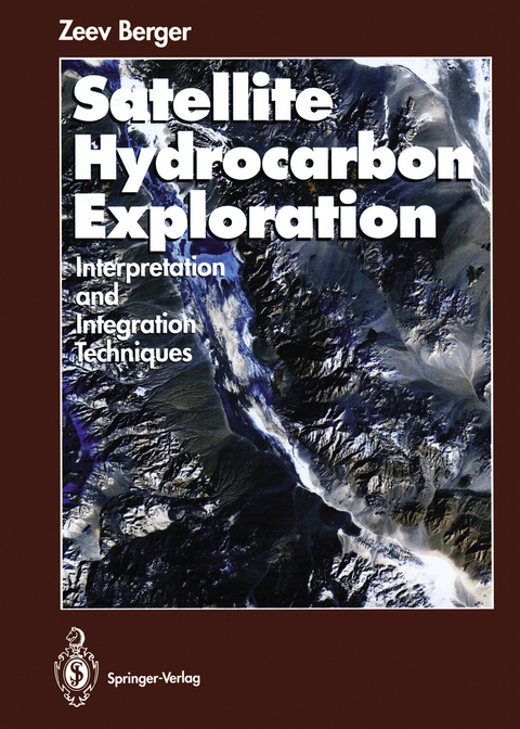
Satellite Hydrocarbon Exploration
Springer Berlin (Verlag)
978-3-642-78589-4 (ISBN)
For the first time remote sensing and oil prospection have been regarded as an integrated approach. The book is based on a concept worked out at Exxon Production Research Company/Houston and is likewise of interest to researchers from other oil companies as well as scientists and students at universities.
1 Fundamentals of Remote Sensing Technology, Interpretation and Integration.- 1 Imaging Systems.- 2 Digital Image Manipulation.- 3 Image Interpretation Techniques: Exposed Structures.- 4 Image Interpretation Techniques: Obscured and Buried Structures.- 5 Interpretation Techniques: Detection and Analysis of Basement Warp Structures.- 6 Interpretation Techniques: Structural Mapping with Stereo Data.- 7 Structural Analysis of Sedimentary Basins.- 8 Other Applications.- Closing Remarks.- 2 Additional Examples of Remote Sensing Interpretation and Integration.- 9 The Salt Flat Graben, West Texas.- 10 Death Valley Region, Nevada and California.- 11 The Fort St. John Graben, Western Canada.- 12 The Canadian Foreland Fold and Thrust Belt, Northern British Columbia.- 13 The Paris Basin, France.- 14 The East Texas Region.- Appendices.- A. List of Symbols Used in the Interpretation of Imagery Data.- B. Abbreviations Used on Image.- C. Drainage Patterns.- D. Major Sources of Images.- Location Index.
"This is a refreshingly straightforward and clear account, underpinned by loads of real examples...It works extremely well, because the author knows exactly what he's writing about, because he has done it, and because he is thinking in terms of three-dimensional geology all the time...It is the most practical book on remote sensing in geology to date... And its an enjoyable read, too!"Journal of Petroleum Geology
"This is a refreshingly straightforward and clear account, underpinned by loads of real examples...It works extremely well, because the author knows exactly what he's writing about, because he has done it, and because he is thinking in terms of three-dimensional geology all the time...It is the most practical book on remote sensing in geology to date... And its an enjoyable read, too!"Journal of Petroleum Geology
| Erscheint lt. Verlag | 19.1.2012 |
|---|---|
| Zusatzinfo | XI, 319 p. |
| Verlagsort | Berlin |
| Sprache | englisch |
| Maße | 193 x 270 mm |
| Gewicht | 737 g |
| Themenwelt | Naturwissenschaften ► Geowissenschaften ► Geografie / Kartografie |
| Naturwissenschaften ► Geowissenschaften ► Geologie | |
| Naturwissenschaften ► Geowissenschaften ► Geophysik | |
| Naturwissenschaften ► Geowissenschaften ► Mineralogie / Paläontologie | |
| Schlagworte | Erdölgeologie • Fernerkundung • Geology • Geophysics • Mineral Resources • Oil Prospecting • Petroleum Geology • physical geography • Prospektionsmethode • Remote Sensing |
| ISBN-10 | 3-642-78589-1 / 3642785891 |
| ISBN-13 | 978-3-642-78589-4 / 9783642785894 |
| Zustand | Neuware |
| Haben Sie eine Frage zum Produkt? |
aus dem Bereich


