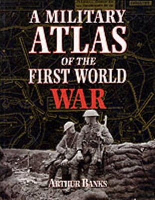
A Military Atlas of the First World War
Seiten
2000
|
New edition
Pen & Sword Books Ltd (Verlag)
978-0-85052-791-9 (ISBN)
Pen & Sword Books Ltd (Verlag)
978-0-85052-791-9 (ISBN)
This is a unique study of the conflict of 1914-18 on land, sea and in the air, through maps, diagrams and illustrations. Within the scope of some 250 maps, Arthur Banks has presented both broad general surveys of political and military strategy, and the most closely researched details of major individual campaigns and engagements. These are supplemented by comprehensive analysis of military strengths and command structures and illustrations.
| Erscheint lt. Verlag | 13.9.2000 |
|---|---|
| Zusatzinfo | illustrations |
| Verlagsort | Barnsley |
| Sprache | englisch |
| Maße | 194 x 254 mm |
| Gewicht | 885 g |
| Themenwelt | Geschichte ► Allgemeine Geschichte ► Neuzeit (bis 1918) |
| Geschichte ► Allgemeine Geschichte ► 1918 bis 1945 | |
| Geisteswissenschaften ► Geschichte ► Regional- / Ländergeschichte | |
| ISBN-10 | 0-85052-791-0 / 0850527910 |
| ISBN-13 | 978-0-85052-791-9 / 9780850527919 |
| Zustand | Neuware |
| Haben Sie eine Frage zum Produkt? |
Mehr entdecken
aus dem Bereich
aus dem Bereich
Europa 1848/49 und der Kampf für eine neue Welt
Buch | Hardcover (2023)
DVA (Verlag)
CHF 67,20
Giordano Bruno - ein ketzerisches Leben
Buch | Hardcover (2024)
C.H.Beck (Verlag)
CHF 41,85


